What is recorded here
Carrignastaighre holds numerous graves marked by low stone mounds within rectangular walls, serving as the famine graveyard for a disused union workhouse. The concrete cross just east of centre stands beside buried lives that hunger claimed before the place became history.
Not shown on 1842 OS 6-inch map; named 'Union Workhouse Burial Ground' on 1904 OS 6-inch map. Rectangular area (c. 95m E-W; c. 55m N-S) enclosed by stone walls. Numerous graves, many marked by low mound of stones. Concrete cross just E of centre. Known locally as famine graveyard and called 'Carrignastaighre'.
The above description is derived from the published 'Archaeological Inventory of County Cork. Volume 3: Mid Cork' (Dublin: Stationery Office, 1997). In certain instances the entries have been revised and updated in the light of recent research.
Date of upload/revision: 14 January 2009
The monument record does not grant public access. Check the route and ask the landowner before entering private land.
- What survives
- Recorded monument
Places near here
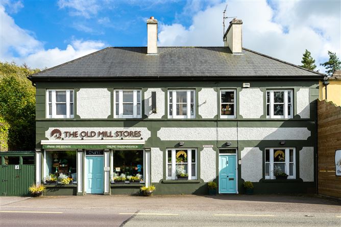 Old MillMill, unclassified · 209 yd
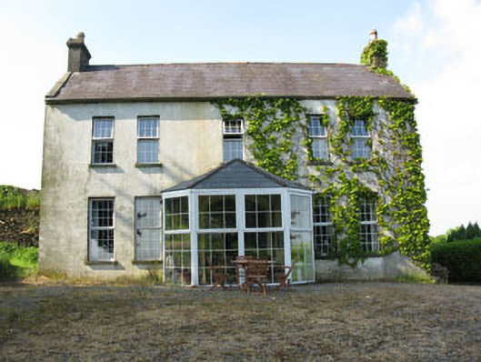 Mount Crosshouse · 545 yd
 Man-made underground passage (Site of)Man-made underground passage · 1014 yd
 Grave YdGraveyard · 1087 yd
 Neill's WoodWood · 1166 yd
 Macroom WalksVisitor information · 1.6 mi
 Curraheen WoodWood · 1.7 mi
 Macroom Castle (in Ruins)Castle, tower house · 1.7 mi
 Carrigaphooca CastleCastle · 1.9 mi
 Battle of Macroombattle · 1.9 mi
 Clonavrick CliffCliff · 2.7 mi
 BurrenMountain / peak · 4.4 mi