
What is recorded here
From the National Monuments Service (Archaeological Survey of Ireland) record LI054-028002
Places near here
Photo credits
- National Inventory of Architectural Heritage
- Harold Strong, Geograph · CC BY-SA 2.0
- Mike Searle, Wikimedia Commons · CC BY-SA 2.0
- Unknown author Unknown author, Wikimedia Commons · Public domain
- A.-K. D., Wikimedia Commons · CC BY-SA 4.0
- Created by Kglavin Modified Aug 2007 by Mike Christie, Wikimedia Commons · CC BY-SA 3.0
- Sitomon, Wikimedia Commons · CC BY-SA 2.0
- The Speckled Bird, Wikimedia Commons · CC BY-SA 4.0
- Jonathan Thacker, Geograph · CC BY-SA 2.0
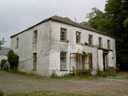 Hardingville HouseCountry house · 1356 yd
Explorer Tom Hardingville House is Georgian perfection with those fanlight windows. It’s balanced and pleasing, unlike my sense of direction. Find the date carved somewhere if you’re feeling archaeological for once in your life.
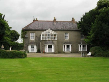 Highmount HouseFarm house, house · 1.2 mi
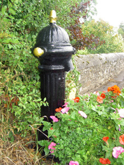 water pump1.2 mi
Explorer Tom Water pump in Scart is an old iron friend from 1900 that stopped working but hasn’t stopped posing yet. It’s right by the school, just chilling in the sun.
 National Co-op MuseumMuseum · 1.7 mi
 Castle (in Ruins)Castle, Anglo-Norman masonry castle · 1.7 mi
Explorer Tom Castle in Kilbolane is an 'enclosure' castle with corner towers that survived. The rest was demolished to build Kilbolane House around 1696. So this is basically a garden wall with attitude. The moat parts are still there, so look for water or mud.
 Castle (in ruins), Springfield CastleCastle, tower house · 3.4 mi
 Battle of LiscarrollMajor battlefield · 7.2 mi
Explorer Tom Battle of Liscarroll in County Cork is where Irish Confederates and Royalists had a go, mostly because they couldn't agree on who was right. Bring wellies and low expectations, leave delighted.
 Saint Ite's WellSpring · 8.4 mi
 Ardagh FortArchaeological place · 13 mi
 European Yew13 mi
Explorer Tom European Yew here, planning retirement by just standing still for another five hundred years. It says it's saving up leaves for a big trip to the afterlife. Stick around for the light changing, it's a slow burn show.
 Kanturk CastleHeritage attraction · 13 mi
 Three CountiesPicnic place · 15 mi
More archaeology and monuments in County Limerick · All of County Limerick

What do you know about this place?Tap to add a comment or ask a question