What is recorded here
Situated on a slight S-facing slope. The parish church of Ballygunner (WA018-015001-) is within a subrectangular graveyard (max. dims. c. 60m E-W; c. 35-55m N-S) defined by masonry walls, but a stone-faced scarp (H 1-1.2m) inside the perimeter at S may indicate an older perimeter. (Power 1890-91, 481)
Power, Rev. P. (1890-91) The ancient ruined churches of Co. Warterford. JRSAI 20-21, 475-82.
Compiled by: Michael Moore
Date of upload: 08 November 2011
The monument record does not grant public access. Check the route and ask the landowner before entering private land.
- What survives
- Recorded monument
Places near here
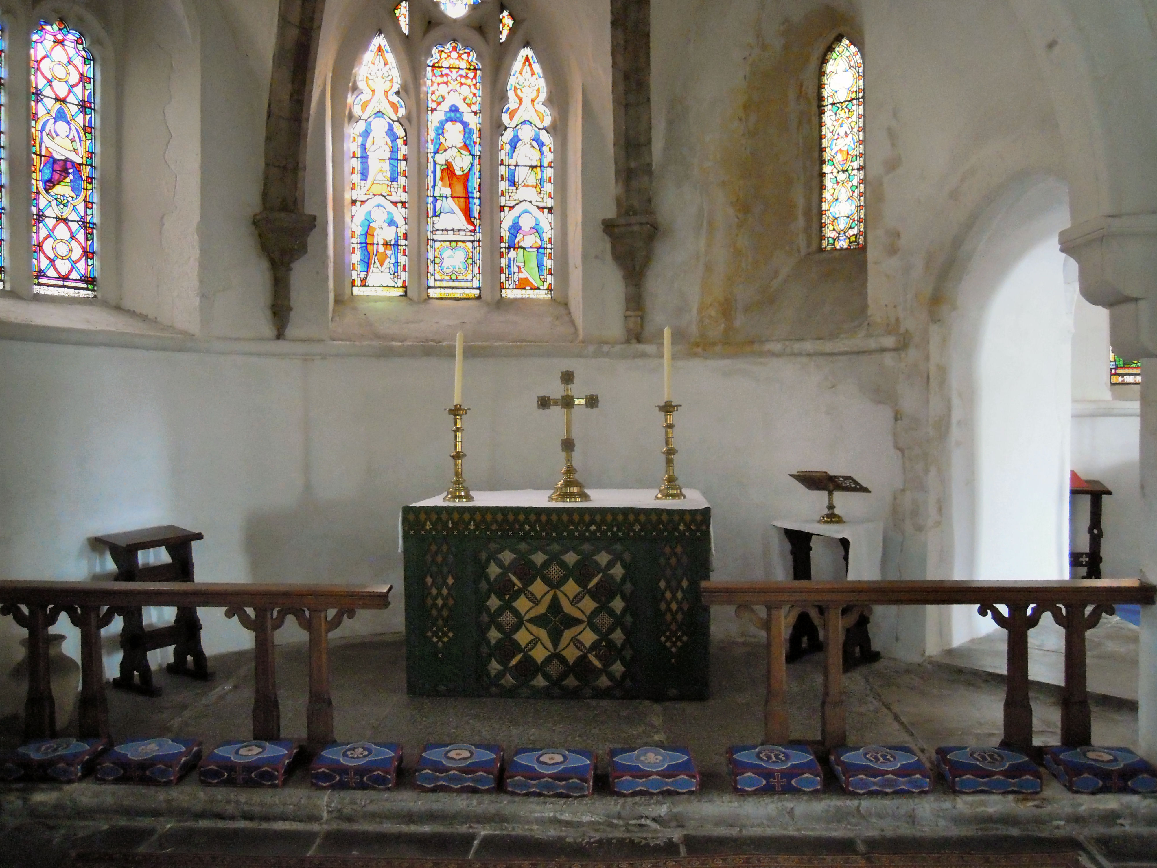 St. Marys Chapel (in ruins)Church · 25 yd
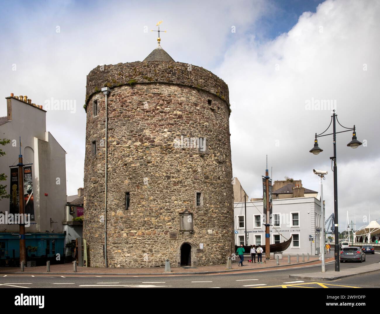 Enclosure in BallyvoreenEnclosure · 635 yd
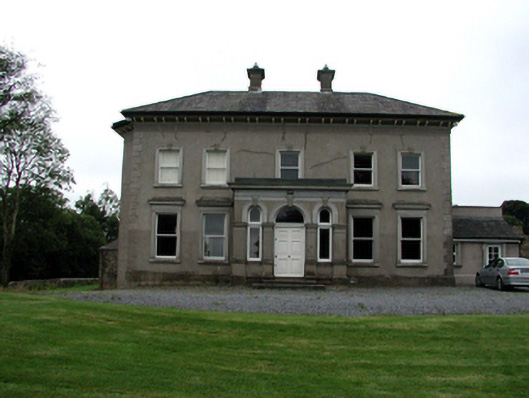 Brook Lodgehouse · 663 yd
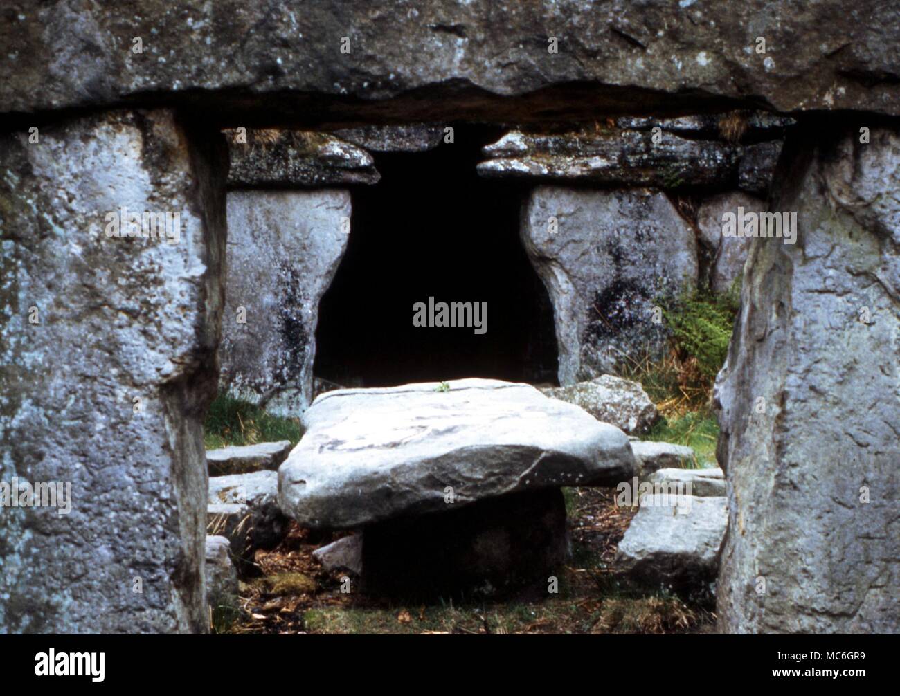 Druids AltarMegalithic structure · 771 yd
 Castle (in ruins)Castle, tower house · 1247 yd
 Ballinakill WoodsWood · 1.3 mi
 MoteCastle, motte · 2.2 mi
 Tramore Dunes WalkWalking route · 6.1 mi
 Tramore Tourist OfficeVisitor information · 6.5 mi
 Tourist InformationVisitor information · 6.5 mi
 Cannon GunBattlefield · 6.9 mi