What is recorded here
On NW side of road overlooking Bantry Bay to N. Shown on OS 6-inch map (1842) as rectangular area; enlarged to E and NW on OS 6-inch maps (1902; 1944); more recent enlargements to S and W. Area of 1st ed. burial ground is now in centre of graveyard and earliest gravestones (19th century) occur here. Site of Franciscan Friary (CO118-03002-) on NW side.
The above description is derived from the published 'Archaeological Inventory of County Cork. Volume 1: West Cork' (Dublin: Stationery Office, 1992). In certain instances the entries have been revised and updated in the light of recent research.
Date of upload/revision: 14 January 2009
The monument record does not grant public access. Check the route and ask the landowner before entering private land.
- What survives
- Recorded monument
Places near here
 Abbey (Site of)Religious house, Franciscan friars · 11 yd
 Designed landscape feature in AbbeyDesigned landscape feature · 306 yd
 GinkgoGinkgo · 500 yd
 Bantry HouseHeritage attraction · 574 yd
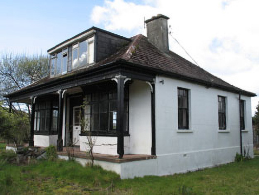 Stella Marishouse · 716 yd
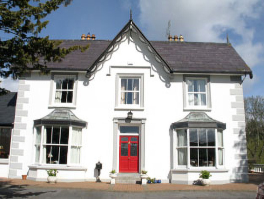 Ardeevinhouse · 757 yd
 St. Brendans StatueMemorial · 1430 yd
 Chapel IslandIslet · 1522 yd
 Statue of Wolfe ToneMemorial · 1536 yd
 Tourist OfficeVisitor information · 1590 yd
 Rabbit IslandIslet · 1652 yd
 Monumental PillarCross · 860 yd