
What is recorded here
On a bare terrace of limestone pavement, 0.6km NW of the village of Cill Mhuirbhigh, Inis Mór. Known locally as Bullán Mhaolodhair (Robinson 1980), it consists of a small natural cavity in the limestone over which is an oval drystone cairn (2.3m by 1.4m, H 0.7m). Some modern offerings are visible. (O'Flanagan 1927a, Vol. 3, 383; Westropp 1895, 260)
The above description is derived from the published 'Archaeological Inventory of County Galway Vol. I - West Galway'. Compiled by Paul Gosling (Dublin: Stationery Office, 1993).
Date of upload: 05 August 2010
The monument record does not grant public access. Check the route and ask the landowner before entering private land.
- What survives
- Recorded monument
Places near here
 Cyclopean WallEnclosure · 807 yd
 Teampal MacDuaghHeritage attraction · 830 yd
 KilcholanShrine · 835 yd
 Kilmurvey BeachBeach / strand · 980 yd
 TemplenaneeveChurch · 1019 yd
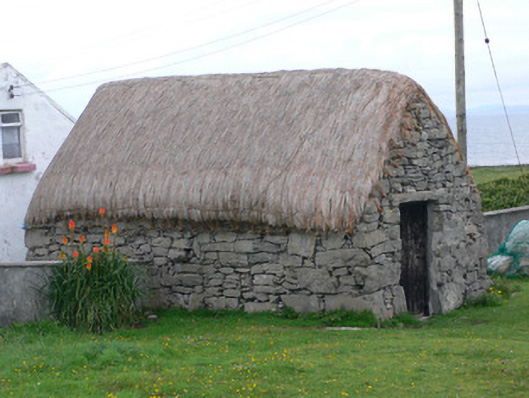 outbuildingoutbuilding · 1149 yd
 Castle (in ruins)Castle, unclassified · 1663 yd
 ÁrainnIsland · 1.9 mi
 Seal Colony LookoutViewpoint · 2.2 mi
 An CharcairMountain / peak · 2.3 mi
 An tOileán ThiarIslet · 3.4 mi
 Trá na mBuailte (Beach of the Booly)Beach / strand · 4.0 mi
Other information
Photo: Credit not shown in the picture search · Rights wording not checked; contact us if this picture should be removed