What is recorded here
Originally located at a fork in a laneway on a steep NW-facing slope in the wood in Reatagh townland in Waterford (WA004-023----), overlooking a small valley with a stream. The stone was removed to its present location for safe keeping some years before 1989. The bullaun is a D-shaped conglomerate stone (dims. 0.8m x 0.5m; max. T 0.35m) with one oval basin (dims. 0.26m x 0.24m; D 0.9m). According to one local source the stone is called the 'Hatter's Stone' as felt hats were moulded in the basin.
Compiled by: Jean Farrelly
Date of upload: 18 December 2012
Likely dating to the early medieval period, the bullaun stone was probably used for ritual or Christian purposes, such as anvil stones for making holy water. Local folklore may associate it with saintly activity or healing traditions.
The monument record does not grant public access. Check the route and ask the landowner before entering private land.
- What survives
- Recorded monument
Places near here
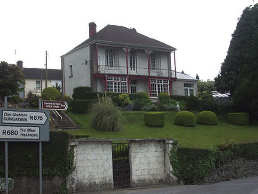 Riverview Househouse · 14 yd
 Dillon Bridgebridge · 139 yd
 CastleCastle, Anglo-Norman masonry castle · 483 yd
 Ormonde CastleHeritage attraction · 483 yd
 Town WallTown defences · 530 yd
 Maurice DavinMonument · 762 yd
 CarrigfenoaghMountain / peak · 1.3 mi
 Coolnamuck Castke (in Ruins)Castle, tower house · 2.1 mi
 Coolnamuck Wood WestForest · 2.8 mi
 Tower HillMountain / peak · 3.1 mi
 Thomas KielyMemorial · 3.3 mi
 Tower Hill WoodWood · 3.5 mi