What is recorded here
Originally located at a fork in a laneway on a steep NW-facing slope. D-shaped conglomerate stone (dims. 0.8m x 0.5m; max. T 0.35m) with one oval basin (dims. 0.26m x 0.24m; D 0.9m). It is now kept at Carrick-on-Suir (TS085-024----).
The above description is derived from the published 'Archaeological Inventory of County Waterford' (Dublin: Stationery Office, 1999). In certain instances the entries have been revised and updated in the light of recent research.
Date of upload/revision: 23 December 2008
Likely dating to the early medieval period, the bullaun stone may have been used for ritual purposes, possibly in Christian or pre-Christian traditions, with the basin potentially used for holy water or symbolic offerings. Such stones are often associated with local folklore and saintly legends.
The monument record does not grant public access. Check the route and ask the landowner before entering private land.
- What survives
- Recorded monument
Places near here
 IndicatedFairy fort / earthen ringfort · 1007 yd
 Fenoagh Church (in ruins)Church · 1105 yd
 Font in TinhallaFont · 1301 yd
 CarrigfenoaghMountain / peak · 1355 yd
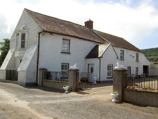 Tinhalla Househouse · 1651 yd
 Tower HillMountain / peak · 1.0 mi
 Tiberaghney CastleCastle, tower house · 1.3 mi
 Tower Hill WoodWood · 1.6 mi
 CastleCastle, Anglo-Norman masonry castle · 1.9 mi
 Ormonde CastleHeritage attraction · 1.9 mi
 Ponsonby Memorial TowerMonument · 2.2 mi
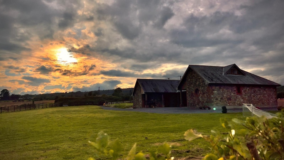 Mount Bolton WoodForest · 2.2 mi