What is recorded here
Bullaun stone in Inishfoyle is a water-filled hollow cut into a large boulder on Baurearagh Mountain, where pilgrims still leave china cups beside the holy well. Local memory also claims the same rock served as a hidden mass place during Penal times, while a nearby plaque names Fr. John O'Neill as having lost his head there. Three worn Latin crosses beside the hollow suggest people have rubbed or touched the stone for centuries, blending worship, fear and survival into one rough mountain slope.
In rough pasture, on the N-facing slope of Baurearagh Mountain. A bowl-shaped water-filled hollow (diam. 0.37m; D 0.13m) is cut into the gently sloping upper surface of a boulder (4.5m N-S; 2.75m E-W; H 0.8m). According to local information, this bullaun stone served as a holy well and china cups beside it imply that pilgrims continue to avail of the holy water. Also according to local information, the boulder was used as a mass-rock (KE110-004----) in Penal times. A recent plaque on outcropping rock to the W commemorates Fr. John O'Neill who was 'beheaded here in penal days'. Three simple Latin crosses, the largest measuring 0.18m x 0.15m, are inscribed on the boulder immediately N of the bullaun stone. The crosses show evidence of recent rubbing and there is a small stone adjacent to them for this purpose.
See attached colour photographs courtesy of Amanda Clarke.
The above description is derived from the published 'Archaeological Inventory of County Kerry. Volume I: South-West Kerry' (Dublin: Stationery Office, 2009). In certain instances the entries have been revised and updated in the light of recent research.
Date of upload: 30 May 2011
Likely dating to the early medieval period, the bullaun stone may have been used for ritual purposes, such as the preparation of holy water or as a site for Christian pilgrimages. In folklore, such stones are often associated with saintly figures and healing traditions.
The monument record does not grant public access. Check the route and ask the landowner before entering private land.
- What survives
- Recorded monument
Places near here
 IndicatedFairy fort / earthen ringfort · 631 yd
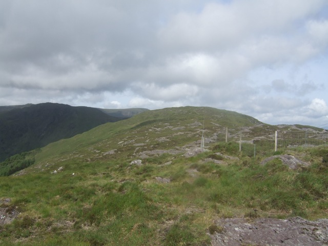 Baurearagh MountainMountain / peak · 918 yd
 Enclosure in ReleaghEnclosure · 1.3 mi
 Turners RockMountain / peak · 1.4 mi
 Molly Gallivan's Cottage & Traditional FarmMuseum · 2.1 mi
 Gleninchaquin WaterfallWaterfall · 2.1 mi
 Gleninchaquin ParkHeritage attraction · 2.2 mi
 Dromoghty Ho.Country house · 2.6 mi
 Glengarriff WoodsWood · 3.0 mi
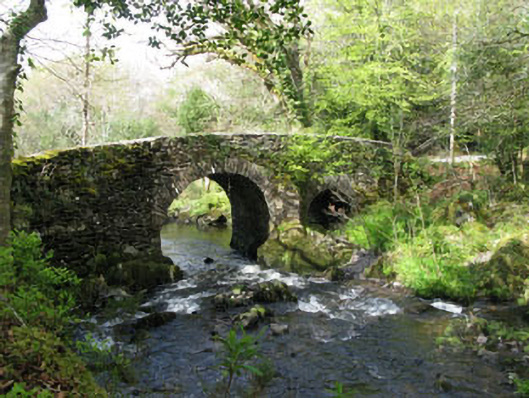 Glengarriff Nature Reservebridge · 3.1 mi
 Uragh Wood Nature ReserveNature reserve · 3.4 mi
 Lady Bantry's LookoutViewpoint · 3.4 mi