What is recorded here
Situated on top of a wall at the NE corner of a field on a gentle E-facing slope. A stone (dims. c. 0.8m x 0.8m x 0.8m) with a single basin (diam. c. 0.3m; D c. 0.2m) was found on the site of an enclosure (WA024-073001-) (SMR file), but it has since been lost.
Compiled by: Michael Moore.
Date of upload/revision: 10th May, 2011.
A Neolithic or early Bronze Age bullaun stone, likely used for ritual or symbolic purposes; such stones are often associated with water-related ceremonies or the preparation of offerings. Local folklore may link it to healing traditions or ancient druidic practices.
The monument record does not grant public access. Check the route and ask the landowner before entering private land.
- What survives
- Recorded monument
Places near here
 Settlement cluster in GarranturtonSettlement cluster · 458 yd
 Enclosure in Ballynabanoge SouthEnclosure · 1443 yd
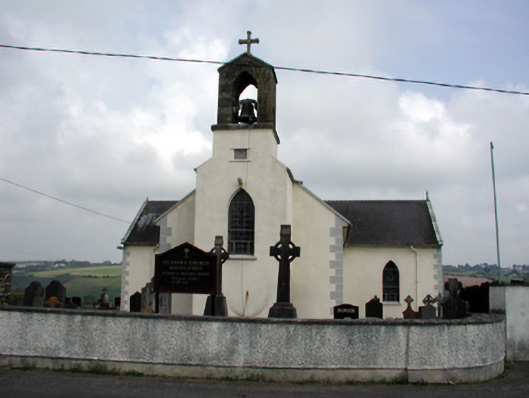 Saint Anne's Catholic Churchchurch/chapel · 1.7 mi
 Mandevilles RockCastle, unclassified · 1.8 mi
 Castle (in ruins)Castle, unclassified · 1.9 mi
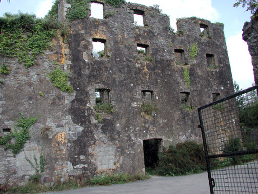 Carrigcastle Millmill (water) · 2.0 mi
 8 Arch GalleryGallery · 2.4 mi
 Stradbally Geological SundialHeritage attraction · 3.0 mi
 Ballydowane CoveBeach / strand · 3.2 mi
 Stradbally CoveBeach / strand · 3.5 mi
 Bunmahon Miners' CottagesVisitor information · 3.7 mi
 Trá na mBóVisitor information · 3.7 mi