What is recorded here
The south bowl holds rainwater while the north bowl stays dry, a small inconsistency on a moss-covered boulder at the east end of a graveyard. That difference may have mattered to whoever knelt beside it, perhaps marking one bowl for drinking and the other for washing or offering. The stone sits in steep pastureland overlooking woodland, large enough to touch but low enough to disappear into grass and shadow.
In pastureland sloping steeply to the S and overlooking woodland. Aspect is limited to the N. This bullaun lies the E end of a graveyard (GA124-005----). It is set in the ground and comprises an irregularly shaped moss-covered boulder (1.2m N-S; 0.9m E-W; H 0.4m). Two bowls are visible: the N one (diam. 0.4m; D 0.12m) is circular in plan, while the S one (0.45m E-W; 0.35m N-S; D 0.18m), which is filled with water, is oval.
Compiled by: Olive Alcock
Date of upload: 6 January 2016
The following images have been uploaded:
GA124-005001-_01.jpg
GA124-005001-_02.jpg
Likely dating to the early Christian period, bullaun stones were traditionally used for hollowing out to hold holy water or for ritual purposes. They are often associated with monastic sites and may have had both Christian and pre-Christian symbolic significance.
The monument record does not grant public access. Check the route and ask the landowner before entering private land.
- What survives
- Recorded monument
Places near here
 Enclosure in Derrybrien EastEnclosure · 518 yd
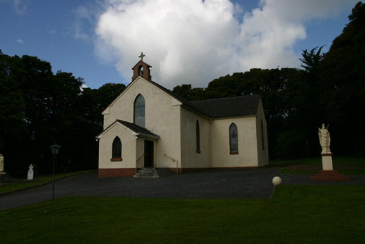 Saint Patrick's Catholic Churchchurch/chapel · 519 yd
 KnocknamonaMountain / peak · 995 yd
 Derrybrien Bog SlideHeritage attraction · 1.6 mi
 KnocknarebanaMountain / peak · 1.9 mi
 CashlaundrumlahanFairy fort / stone ringfort · 2.0 mi
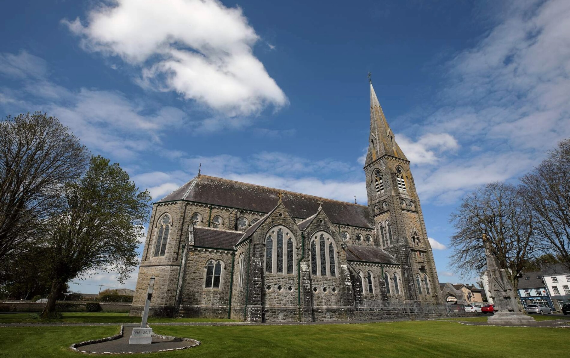 R.C. ChapelChapel · 3.8 mi
 Scalpeen RockNamed rock · 4.1 mi
 Maguire SistersMemorial · 4.2 mi
 Hawkins WoodWood · 5.9 mi
 Bawn in BallyconnellBawn · 6.5 mi
 Holly IslandIslet · 7.3 mi