What is recorded here
In the garden of a modern house.
A subrectangular boulder (L 0.9m; Wth 0.55m; T 0.3m) with two close-set circular hollows of unequal size in one broad flat surface. The two hollows are bowl-shaped, with sides grading seamlessly to a slightly concave base: larger hollow (diam. 0.29-0.30m; D 0.15m); small hollow (diam. 0.22-0.23m; D 0.1m). The interior surface of the hollows is smooth and even, contrasting with the natural rough surface of the boulder.
The two hollows, set 3-4cm apart, occupy most of the available space on the relatively flat surface of the boulder. The bullaun stone is currently set upright on edge, with one broad surface (the original base) abutting a garden feature and the broad face with the two hollows facing outwards. According to the local information, the bullaun stone was found on the shoreline of Lough Gill c. 200m to S of its current location.
Attached images:
SL015-135----_01.JPG Bullaun stone viewed from S
SL015-135----_02.JPG Bullaun stone viewed from SW
Compiled by: Jane O’Shaughnessy
Date of upload; 10th December 2021
Likely dating to the early medieval period, the Bullaun stone in Corwillick may have been used for ritual or symbolic purposes, possibly as a site for anointing or blessing with holy water. Such stones often feature in local folklore as places of spiritual significance or healing.
The monument record does not grant public access. Check the route and ask the landowner before entering private land.
- What survives
- Recorded monument
Places near here
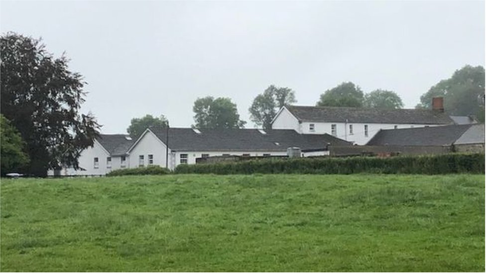 ToberconnellHoly well · 574 yd
 Toberconnell BayBay · 705 yd
 St. Connells IslandIslet · 960 yd
 Promontory fortPromontory fort, inland · 1071 yd
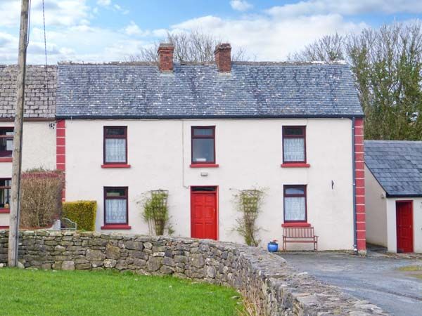 Comorant RockIslet · 1453 yd
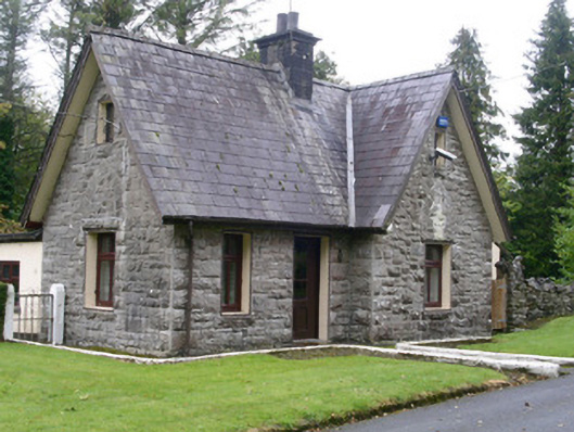 Clogherrevagh Housegate lodge · 1631 yd
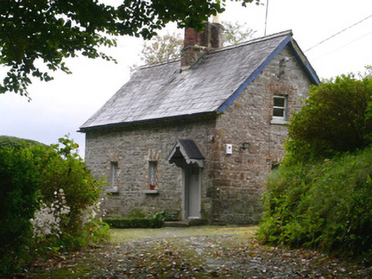 Holywell Housegate lodge · 1700 yd
 Trawane BayBay · 1.2 mi
 Parke's CastleHeritage attraction · 1.2 mi
 CastleCastle, tower house · 1.2 mi
 Court Tomb TrailWalking route · 1.3 mi
 Cullentra ForestForest · 1.6 mi