What is recorded here
On bedrock in an area of rough grazing land on the summit of an E-W rocky ridge. A hollow (diam. 0.15m; D 0.06m) is carved into the bedrock. Quartz stones were noted on the ridge nearby.
The above description is derived from 'The Archaeological Inventory of County Cork. Volume 5' (Dublin: Stationery Office, 2009).
Date of upload: 22 December 2009
The monument record does not grant public access. Check the route and ask the landowner before entering private land.
- What survives
- Recorded monument
Places near here
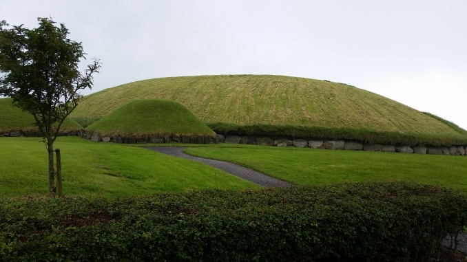 Hut site in Munnig NorthHut site · 540 yd
 Shour WellHoly well · 846 yd
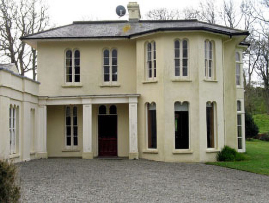 Lough Ine Househunting/fishing lodge · 929 yd
 Wild Atlantic Way:Lough HyneVisitor information · 1006 yd
 quay/wharfquay/wharf · 1357 yd
 ClochánCastle · 1358 yd
 KnockomaghMountain / peak · 1427 yd
 Trá na BóBeach / strand · 1.1 mi
 Walk 5 - Lough Hyne (7km)Walking route · 1.2 mi
 TralispeanBeach / strand · 1.3 mi
 Bullock IslandIslet · 1.4 mi
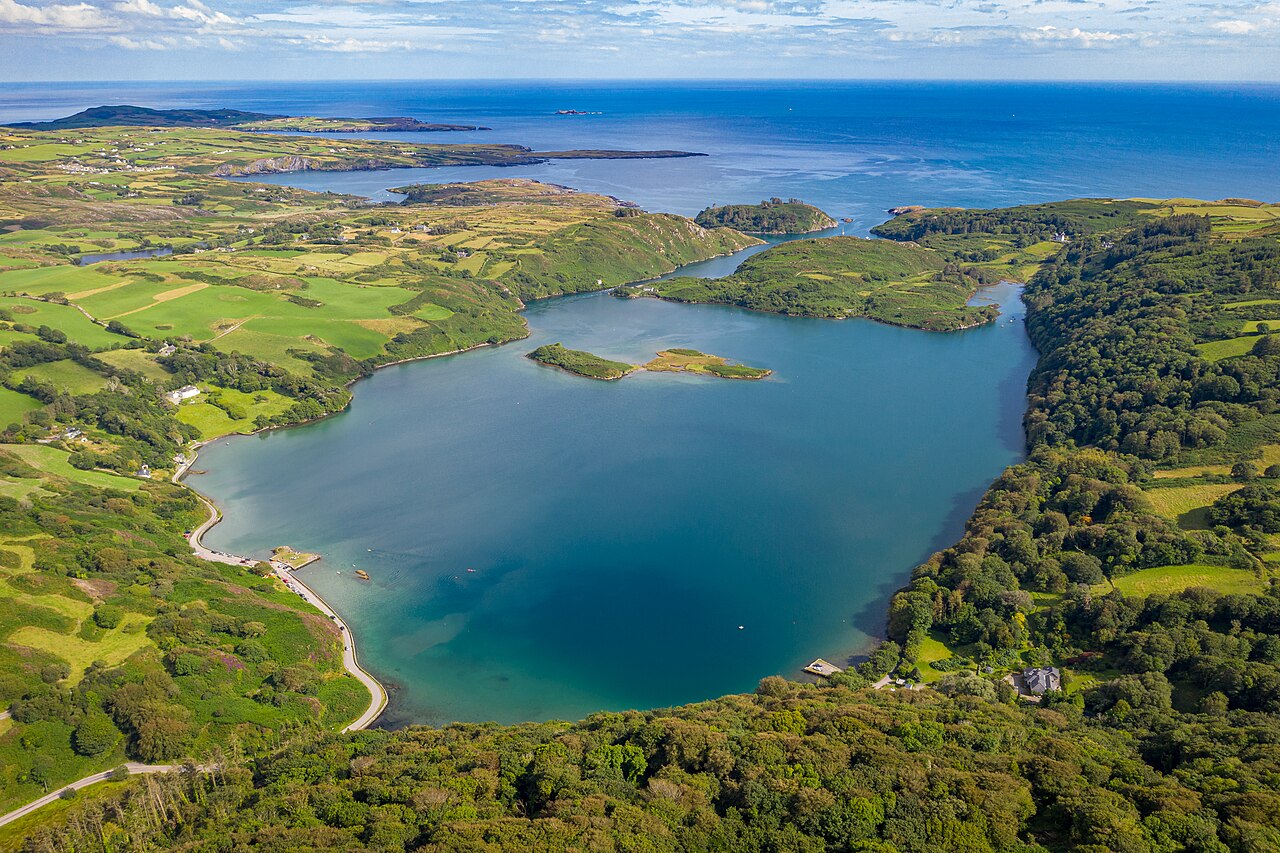 Lough HyneVisitor information · 1.4 mi