What is recorded here
Situated in coniferous plantation on the southeast facing slope of rising ground in the Owenass river valley. The Owenass River is 25m to the southeast of the possible bullaun which consists of a small irregular shaped sandstone boulder (dims. 0.5m x 0.6m x 0.3m H) with one fully formed depression (diam. 0.09m; D 0.02m) on its surface with 12 other circular rings of varying diameter cut into the surface of the stone. The rings are perfectly circular and vary in daimeter from 0.06m to 0.09m. Only one of the This boulder is not a classic bullaun stone and only one of the shallow depressions could be described as a bullaun. The circular rings cut into the stone may be unformed depressions however their uniform shape casts some doubt over the antiquity of the markings on the boulder.
Likely dating to the early Christian period, the bullaun stone may have been used for ritual purposes, such as the preparation of holy water. Such stones are often associated with local saints and folklore, though specific traditions for this site are not recorded.
The monument record does not grant public access. Check the route and ask the landowner before entering private land.
- What survives
- Recorded monument
Places near here
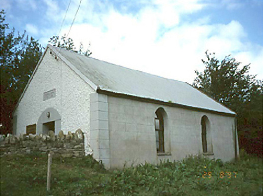 Ballyhuppahane Methodist Churchchurch/chapel · 1.2 mi
 Enclosure in ConesEnclosure · 1.8 mi
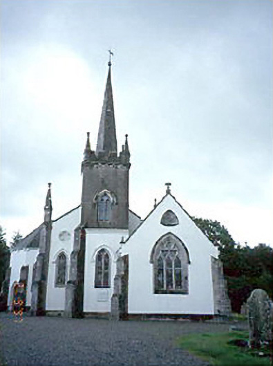 Church of Saint John the Baptist (Clonenagh and Clonagheen)church/chapel · 2.0 mi
 KylealissEnclosure · 2.6 mi
 BaunreaghcongMountain / peak · 2.7 mi
 CastleCastle, unclassified · 3.7 mi
 Turrets (in Ruins)Bawn · 3.9 mi
 Slieve Bloom MountainsMountain range · 5.0 mi
 SycamoreSycamore · 5.2 mi
 Sitka SpruceSitka Spruce · 5.3 mi
 Kilmanman church (in Ruins), GraveyardChurch · 6.7 mi
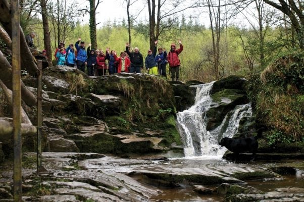 Slieve Bloom WayWalking route · 7.8 mi