What is recorded here
Found in a garden which is situated on a steep SW-facing slope overlooking the NW-SE Deehil River, c. 100m to the SW. This is a D-shaped bullaun stone of Old Red Sandstone (dims. 0.83m x 0.5m; T 0.3m) with one basin (diam. 0.3m; D 0.1m).
The above description is derived from the published 'Archaeological Inventory of County Waterford' (Dublin: Stationery Office, 1999). In certain instances the entries have been revised and updated in the light of recent research.
Compiled by: Michael Moore.
Date of upload/revision: 12th May, 2011.
Probably dating to the early Christian period, this bullaun stone may have been used for ritual or ecclesiastical purposes, such as the preparation of holy water. Such stones are often associated with local saints or folklore traditions in Irish landscapes.
The monument record does not grant public access. Check the route and ask the landowner before entering private land.
- What survives
- Recorded monument
Places near here
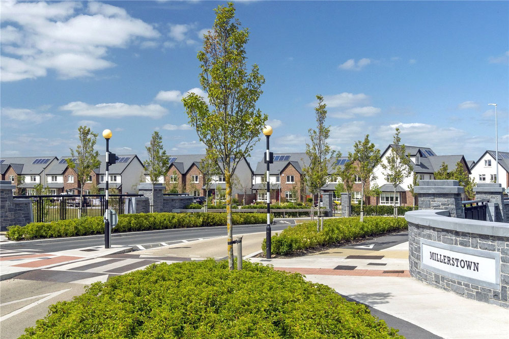 Man-made underground passage in MillerstownMan-made underground passage · 655 yd
 Durrow Viaductbridge · 708 yd
 Embanked enclosureFairy fort / earthen ringfort · 754 yd
 Water millWater mill, horizontal-wheeled · 1240 yd
 Church (in ruins)Castle, unclassified · 1317 yd
 Bawn in Castlequarter (decies Without Drum By., Kilrossanty Par.)Bawn · 1.1 mi
 Stradbally Geological SundialHeritage attraction · 2.1 mi
 Stradbally CoveBeach / strand · 2.5 mi
 Deelish MountainMountain / peak · 3.4 mi
 Clonea StrandBeach / strand · 3.9 mi
 CrohaunMountain / peak · 4.0 mi
 Horse-chestnutHorse-chestnut · 4.2 mi