What is recorded here
Two depressions, .06m apart are cut in the natural rock surface. The larger is .23m across and 0.14m deep and the smaller .18m across and 0.05m deep. They are described on the 3rd edition of the OS 6-inch map as 'St. Begley's Knee Stone'. To one side, just projecting above ground level is a stone on edge, clearly artificially positioned. The site is at the top of a steep W facing slope in pasture land.
The above description was derived from the 'Archaeological Survey of County Donegal. A description of the field antiquities of the County from the Mesolithic Period to the 17th century.' Compiled by: Brian Lacey with Eamon Cody, Claire Cotter, Judy Cuppage, Noel Dunne, Vincent Hurley, Celie O'Rahilly, Paul Walsh and Seán Ó Nualláin (Lifford: Donegal County Council, 1983). In certain instances the entries have been revised and updated.
Date of upload: 22 September 2008
The monument record does not grant public access. Check the route and ask the landowner before entering private land.
- What survives
- Recorded monument
Places near here
 Gortahork Inland Promontory FortPromontory fort, inland · 607 yd
 Teach Pobail Chríost Rí [Catholic Church of Christ the King]church/chapel · 770 yd
 Fairy fort / stone ringfort in An Caiseal (tc Dún Lúiche)Fairy fort / stone ringfort · 1222 yd
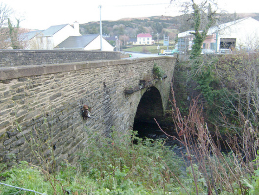 Droicheadh Bhedlam [Bedlam Bridge]bridge · 1232 yd
 Castle Bawne (in Ruins)Bawn · 1.2 mi
 Monterey CypressMonterey Cypress · 2.1 mi
 Wych ElmWych Elm · 2.2 mi
 MagheraroartyOfficial bathing water · 2.7 mi
 Trá Dhroim na TineBeach / strand · 2.9 mi
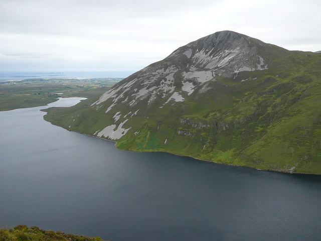 Aghla MoreMountain / peak · 4.2 mi
 Inis Bó FinneIsland · 4.5 mi
 The Bridge of TearsMemorial · 4.9 mi