What is recorded here
Situated in the water c. 10m from the E shore of Inis Cealtra. Weirs associated with the Ardnacrusha power station as part of the Shannon Hydro-electric scheme caused the level of the lake to rise and the shoreline to be flooded. A number of rocks are partially submerged in the area and this is the largest (1.5m x 0.85m; H 0.8m), it is subrectangular in plan with a straight NE side. The top of the boulder is very uneven and there is one circular basin (diam. 0.37m; D 0.12m at E and 0.07m at the lower W side) on the SW side. (Macalister 1916-17, 143; McNamara 1984, 32)
Compiled by: Mary Tunney
Date of upload: 19 October 2015
The monument record does not grant public access. Check the route and ask the landowner before entering private land.
- What survives
- Recorded monument
Places near here
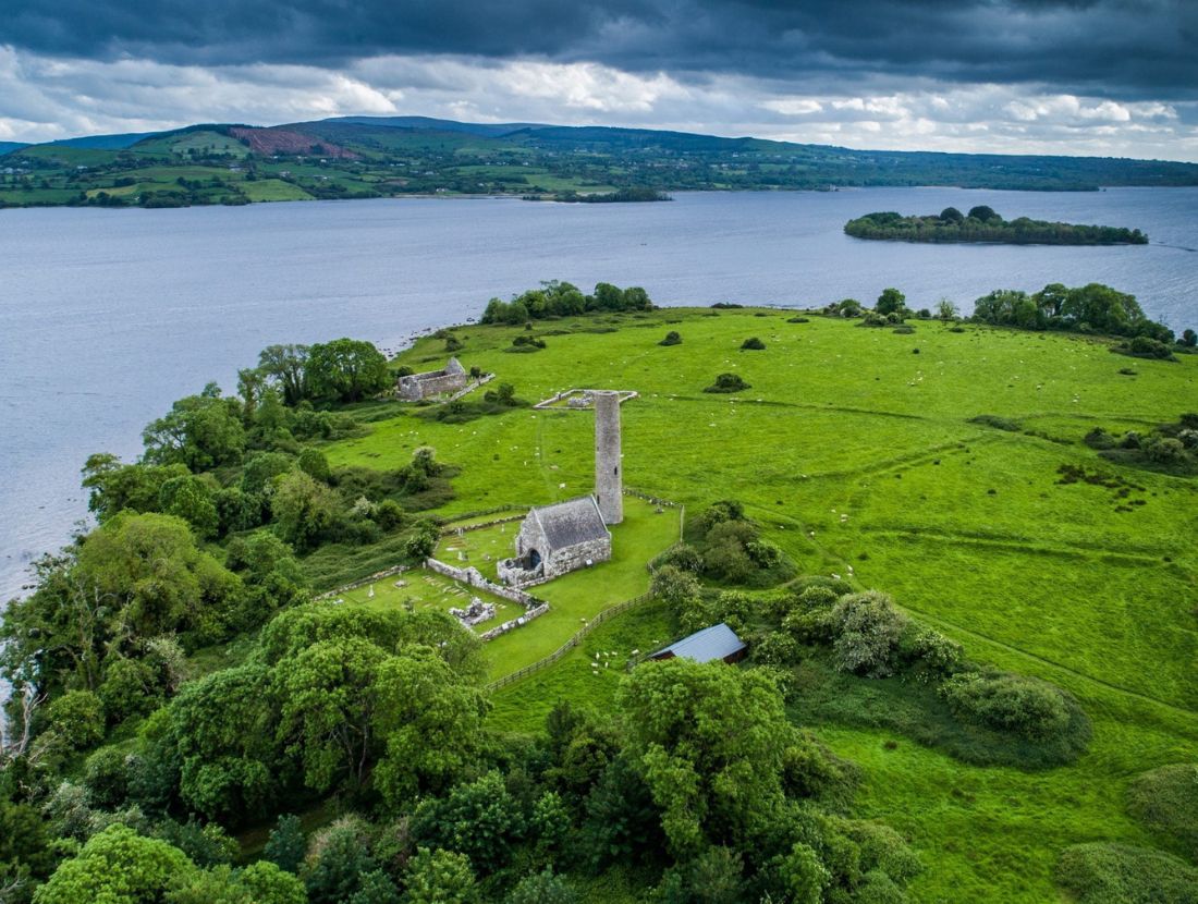 Baptism ChurchChurch · 106 yd
 Enclosure in Inishcaltra OR Holy IslandEnclosure · 176 yd
 Inishcaltra Monastic SiteArchaeological place · 217 yd
 IndicatedChurch · 245 yd
 Inishcaltra or Holy IslandIslet · 269 yd
 Pedunculate OakPedunculate Oak · 1538 yd
 The MazeHeritage attraction · 1.2 mi
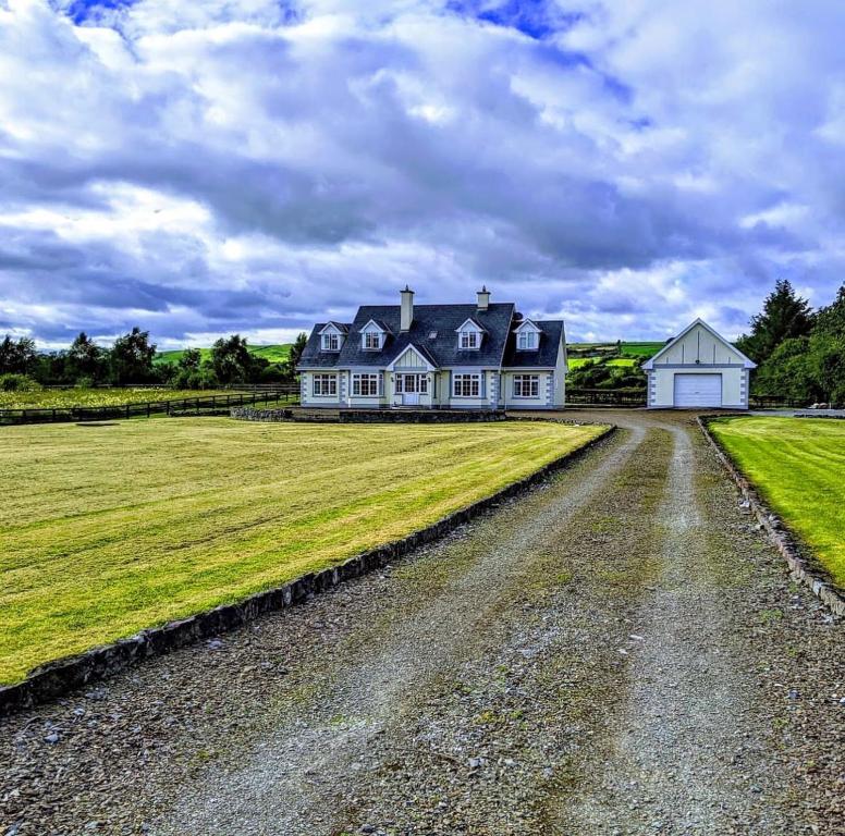 Scarriff BayBay · 1.7 mi
 Bawn in Caher (tulla Lower By.)Bawn · 1.7 mi
 Cloonoolia BayBay · 1.7 mi
 Aughinish WoodForest · 1.8 mi
 Castle BaunCastle · 1.8 mi