What is recorded here
Not shown on 1842 and 1904 OS 6-inch maps. Irregular stone with several small shallow depressions (diam. 0.05m) on upper surface which may be natural. Also three larger irregular depressions and dynamite holes.
The above description is derived from the published 'Archaeological Inventory of County Cork. Volume 3: Mid Cork' (Dublin: Stationery Office, 1997). In certain instances the entries have been revised and updated in the light of recent research.
Date of upload/revision: 14 January 2009
The monument record does not grant public access. Check the route and ask the landowner before entering private land.
- What survives
- Recorded monument
Places near here
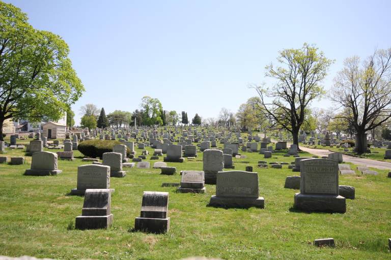 Burial ground in MahallaghBurial ground · 626 yd
 Black WoodWood · 799 yd
 Nettlevillecountry house · 851 yd
 Quarry WoodWood · 1033 yd
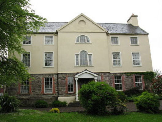 Carhoo Housecountry house · 1648 yd
 Carrigadrohid Castle (in Ruins)Castle, tower house · 1.0 mi
 Carrigadrohid CastleHeritage attraction · 1.0 mi
 Fulacht fia in Carhoo LowerFulacht fia · 1.0 mi
 Carrigadrohid Castle InfoVisitor information · 1.1 mi
 Sunday's WellSpring · 1.5 mi
 Mullinhassig WaterfallWaterfall · 2.4 mi
 Old Mansion HoCastle, Anglo-Norman masonry castle · 2.5 mi