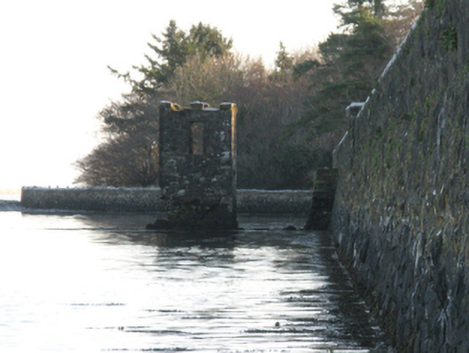
What is recorded here
Freestanding single-bay two-stage tower, extant 1896, on a square plan. Now in ruins. Roof now missing. Coursed rubble limestone walls with cut- or hammered limestone flush quoins to corners supporting battlemented parapet having lichen-covered rock faced hammered limestone coping. Square-headed door opening (first stage) with rough hewn limestone lintel. Square-headed window openings (second stage) with rough hewn limestone lintels. Set on mudflat in Killala Bay.
A folly-like tower representing an integral component of the nineteenth-century built heritage of Killala. NOTE: A pathway marked on the second edition of the Ordnance Survey (surveyed 1896; published 1898) indicates a connection with the nearby The Lodge (see 31203015).
This does not grant access. Most recorded buildings are privately owned; view them only from public ground unless the owner allows entry.
Places near here
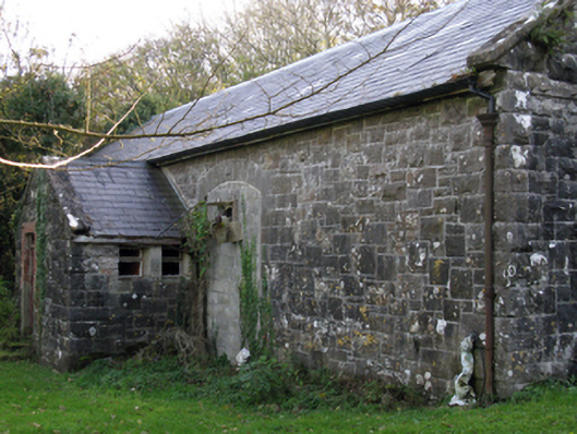 Killala Railway Stationstore/warehouse · 114 yd
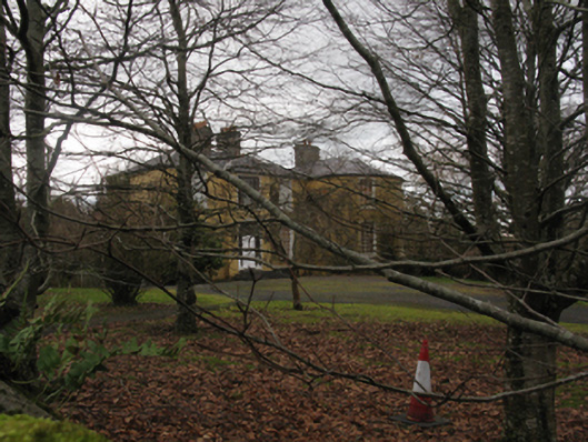 The Lodgehouse · 169 yd
 Cathedral in Townplots WestCathedral · 279 yd
 CastleCastle, unclassified · 316 yd
 Round tower in Townplots WestRound tower · 330 yd
 Battle of Killalabattle · 398 yd
 Green IslandIslet · 558 yd
 Bawn in Meelick (tirawley By.)Bawn · 1167 yd
 Rinnaun PointHeadland · 1607 yd
 Battlefields of MoyneBattlefield · 1.2 mi
 Moyne AbbeyHeritage attraction · 1.7 mi
 Bartragh IslandIsland · 1.9 mi
Other information
Photo: National Inventory of Architectural Heritage · Website use allowed for educational or private purposes with source credit