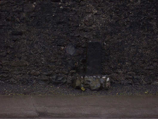
What is recorded here
Freestanding limestone ward boundary marker, erected c.1820, inscribed with 'WD' and 'No. 4' to front face (south). Probable Ordnance Survey benchmark to head. Located on footpath.
A subtle but interesting piece of street furniture. Ward boundary markers were erected in the early-to-mid nineteenth-century to identify the extent of territorial units/election constituencies for local government elections. The possible benchmark would date from the 1820s or 30s, when the Ordnance Survey was carrying out survey work in advance of the production of the first series of six-inch maps (Westmeath published in 1837-8).
This does not grant access. Most recorded buildings are privately owned; view them only from public ground unless the owner allows entry.
Places near here
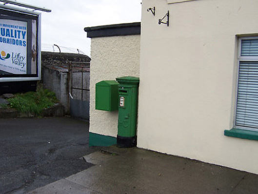 post boxpost box · 130 yd
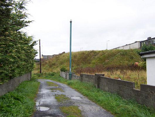 batterybattery · 264 yd
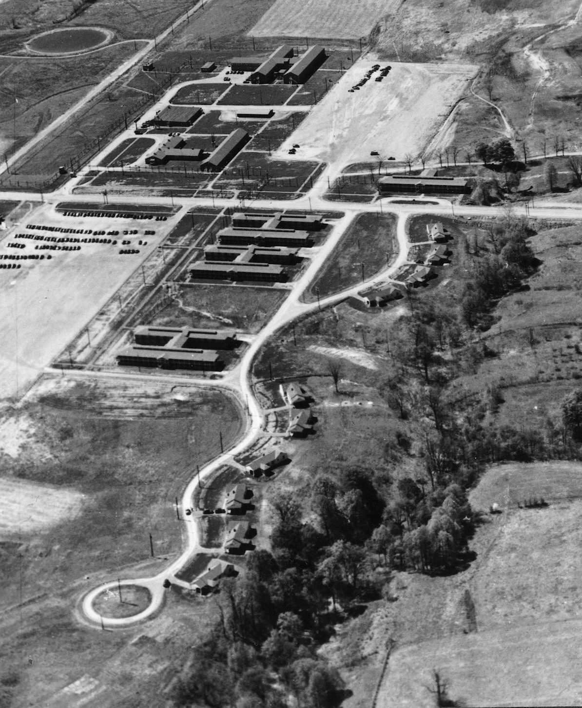 Outlined, Ordnance GroundFortification · 432 yd
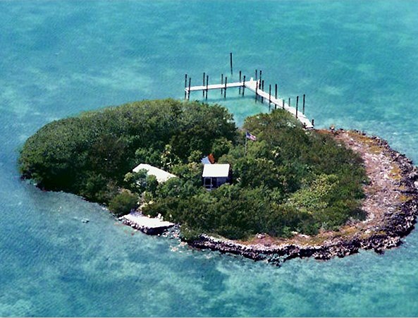 Charlie's IslandIslet · 1144 yd
 Bastion GalleryGallery · 1297 yd
 Historic Town - Athlone Castle & Church of St Peter and PaulVisitor information · 1319 yd
 Luan GalleryGallery · 1331 yd
 CrossCross, Wayside cross · 1331 yd
 Siege of Athlonesiege · 1346 yd
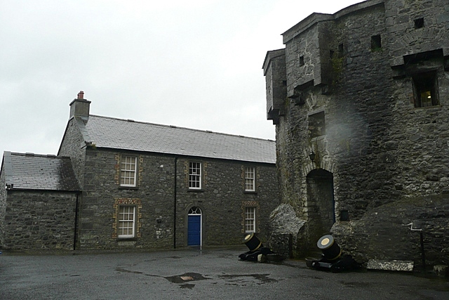 CastleCastle, unclassified · 1447 yd
 1916 Centenery CommemorationMemorial · 1682 yd
Other information
Photo: National Inventory of Architectural Heritage · Website use allowed for educational or private purposes with source credit