What is recorded here
Situated in S sector of the Phoenix Park. Cropmark of a U-plan building of unknown antiquity visible on Google Earth aerial imagery taken 29/05/2018. Appears to be standing centre of large enclosure the cropmark of which is visible on Google Earth aerial imagery.
See attached Google Earth orthoimage taken 29/05/2018.
Compiled by: Caimin O'Brien
Date of upload: 22 May 2020
The monument record does not grant public access. Check the route and ask the landowner before entering private land.
- What survives
- Recorded monument
Places near here
 BarrowBarrow, ditch barrow · 162 yd
 Burial in Unknown TownlandBurial · 365 yd
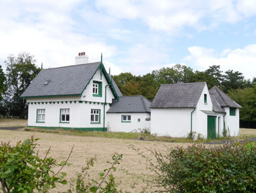 Phoenix Parkworker's house · 415 yd
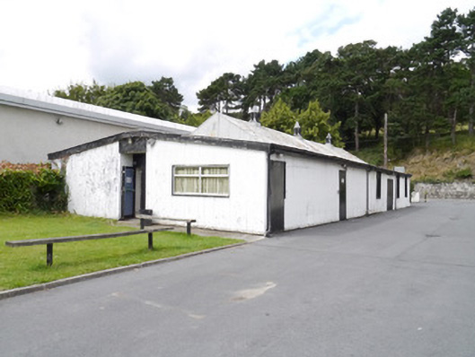 Neptune Rowing Clubsports hall/centre/gymnasium · 564 yd
 Islandbridge LodgeVisitor information · 751 yd
 Horse-chestnutHorse-chestnut · 1089 yd
 GiraffeHeritage attraction · 1176 yd
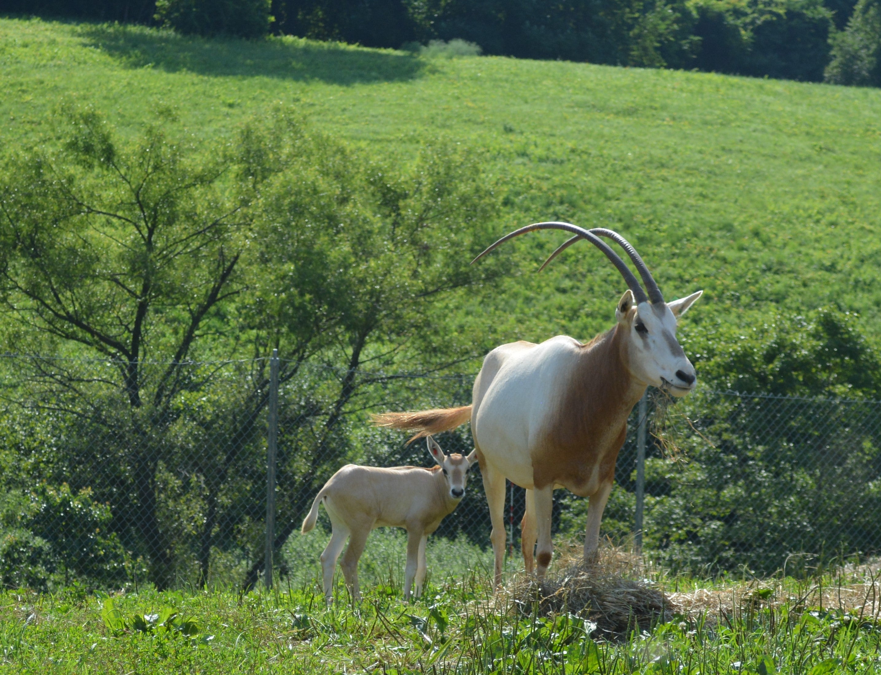 Scimitar-horned oryxHeritage attraction · 1210 yd
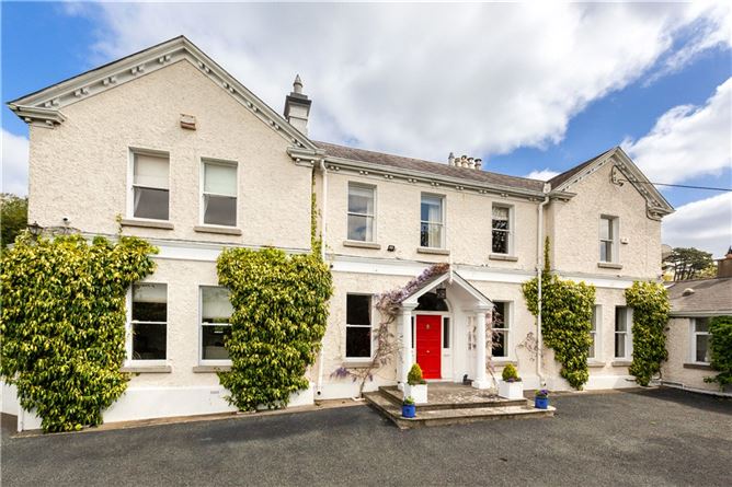 Chapelizod BypassMemorial · 1356 yd
 Toni'sPicnic place · 1382 yd
 Irish Citizen ArmyMemorial · 1395 yd
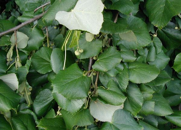 Silver LimeSilver Lime · 1576 yd