What is recorded here
In poor pasture, situated on the SW slope of a low drumlin-like hill. Not indicated on the 1838 and 1922 OS 6-inch maps. Listed as an earthwork in the RMP (1996) based on a rectangular feature, aligned NE–SW, visible in an aerial photograph (OS 6 9383-2 Roll 223, print 18). At ground level the grassed-over remains of a stone-built wall (L c. 11m NE–SW; Wth 0.8m) can be traced. This appears to represent the NW wall of a rectangular building. According to local information, there was a byre at this location at the beginning of the 20th-century.
Compiled by: Jane O'Shaughnessy
Date of upload: 28 January 2015
The monument record does not grant public access. Check the route and ask the landowner before entering private land.
- What survives
- Recorded monument
Places near here
 TemplenagalliaghdooChurch · 1010 yd
 PollatarriveCliff · 1328 yd
 St. Patricks WellHoly well · 1.0 mi
 Church (in Ruins)Church · 1.1 mi
 Castle (in ruins)Castle, tower house · 1.3 mi
 WW2 Éire MarkerHeritage attraction · 1.5 mi
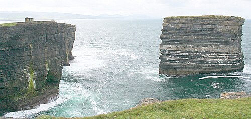 Downpatrick HeadHeadland · 1.6 mi
 Ballycastle BeachBeach / strand · 2.4 mi
 CastleCastle, unclassified · 3.5 mi
 Lisheen Grave YardArchaeological place · 4.1 mi
 BlowholeCliff · 4.2 mi