What is recorded here
On a steep slope at the lower end of the East Steps (KE104A001022-) above Blind Man's Cove on Sceilg Mhichíl. Clearance of vegetation in 2002 revealed part of a rectangular stone structure to the E of, and abutting, the outer face of the steps (Bourke 2004, 217). Partial excavation of the structure in 2002 uncovered burnt spreads (ibid.). Subsequent excavation in 2003 revealed this structure to be a subrectangular building (c. 5m x 2.5m), part of which had fallen into the sea, and which appeared to have been occupied in the Early Christian period (Bourke 2006, 220). A cross-slab (KE104A001109-) was found beneath the threshold of the building (ibid.).
The above description is derived from the published 'Archaeological Inventory of County Kerry. Volume I: South-West Kerry' (Dublin: Stationery Office, 2009). In certain instances the entries have been revised and updated in the light of recent research.
Date of upload: 30 May 2011
The monument record does not grant public access. Check the route and ask the landowner before entering private land.
- What survives
- Recorded monument
Places near here
 Cross in Sceilg MhichílCross · 56 yd
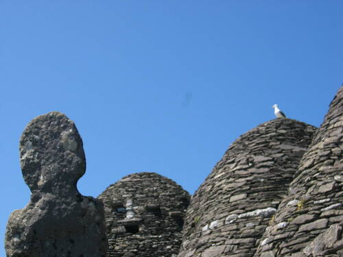 Church (in Ruins)Church · 162 yd
 Skellig MonasteryHeritage attraction · 174 yd
 North PeakMountain / peak · 209 yd
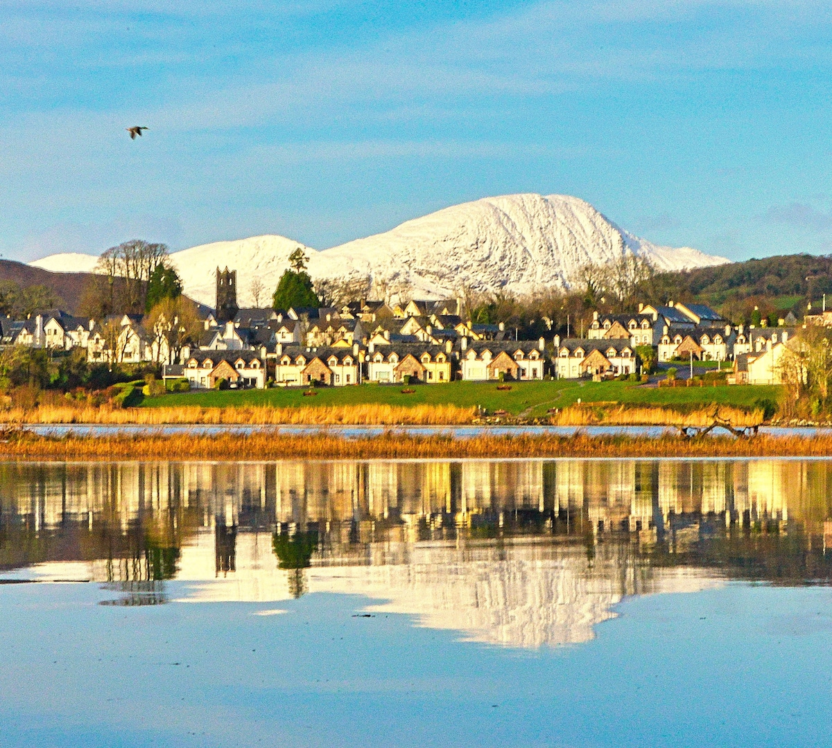 Pointe na bhFaoileannHeadland · 262 yd
 Sceilig MhichílIslet · 319 yd
 Enclosure in Sceilg MhichílEnclosure · 326 yd
 Church in Sceilg MhichílChurch · 408 yd
 Sceilg MhíchílMountain / peak · 428 yd
 Sceilig BheagIslet · 1.4 mi
 LéimeHeadland · 6.7 mi
 Tráigh na SplinceBeach / strand · 8.5 mi