What is recorded here
A cairn (DG096-018002-) 7.1m x 6.2m with an altar built in the centre, approached by a passage from the S. There is a primitive stone cross (DG096-018004-) on top of the cairn. Immediately to the NNW is a drystone-walled structure (DG096-018003-) 3.4m x 2.5m, up to .65m in height.
The above description was derived from the 'Archaeological Survey of County Donegal. A description of the field antiquities of the County from the Mesolithic Period to the 17th century.' Compiled by: Brian Lacey with Eamon Cody, Claire Cotter, Judy Cuppage, Noel Dunne, Vincent Hurley, Celie O'Rahilly, Paul Walsh and Seán Ó Nualláin (Lifford: Donegal County Council, 1983). In certain instances the entries have been revised and updated.
Date of upload: 22 September 2008
The monument record does not grant public access. Check the route and ask the landowner before entering private land.
- What survives
- Recorded monument
Places near here
 Cross in Rann Na CilleCross · 7 yd
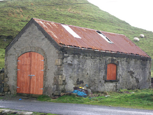 Stáisiún Garda Cósta an Teileannboathouse, coastguard station · 312 yd
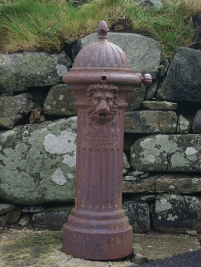 water pumpwater pump · 326 yd
 Cliffs at TeelinPublicly named cliff or headland · 407 yd
 Doire Leathan Coastal Promontory FortPromontory fort, coastal · 787 yd
 Dundawoona Point / Pointe an DúinHeadland · 1278 yd
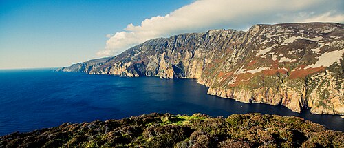 Slieve LeagueViewpoint · 2.0 mi
 TraloarBeach / strand · 2.1 mi
 CroaghmuckrosMountain / peak · 2.2 mi
 International Appalachian Trail Ulster-IrelandWalking route · 2.4 mi
 TrabaneBeach / strand · 2.5 mi
 Slieve League SE TopMountain / peak · 2.9 mi