What is recorded here
This area was inspected in July 1968 following a proposal to reclaim the land and the reporting of ‘three stones standing in separate locations within the area’. A least one stone had an adjoining small mound (SMR file). Only foundations of farm buildings, which may have been associated with the tower house (GA104-166----) c. 130m to the W, were evident. The land has since been reclaimed and no visible surface traces survive.
Compiled by: Olive Alcock
Date of upload: 30 May 2017
The monument record does not grant public access. Check the route and ask the landowner before entering private land.
- What survives
- Recorded monument
Places near here
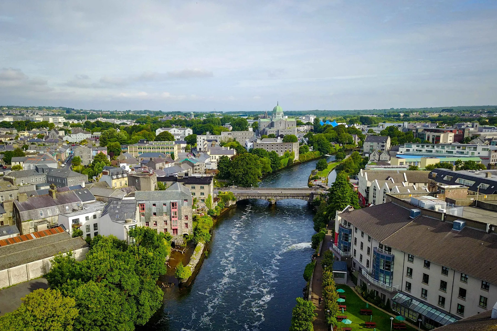 IndicatedQuarry · 1.1 mi
 Ardnamoran ChurchChurch · 1.2 mi
 LisheenodayFairy fort / earthen ringfort · 1.3 mi
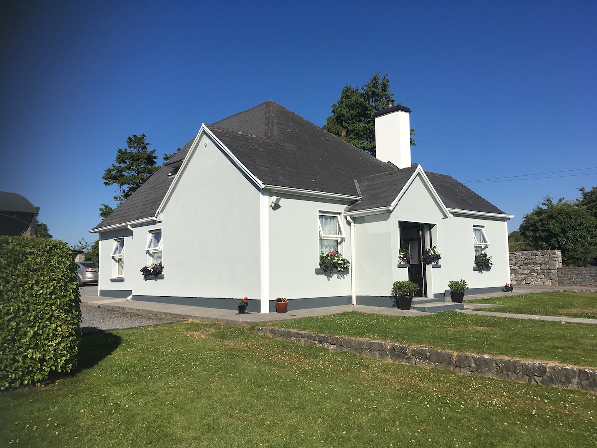 Hut site in Castletaylor SouthHut site · 1.4 mi
 Cloghroak Castle (in ruins)Castle, tower house · 1.6 mi
 Site of Shanbally CastleCastle, unclassified · 2.2 mi
 Kilcornan ForestWood · 3.9 mi
 Drumharsna CastleHeritage attraction · 4.4 mi
 Loughaun WoodWood · 4.5 mi
 Mulroney's IslandIslet · 7.4 mi
 Mweenish PointHeadland · 7.7 mi
 Traught BeachBeach / strand · 8.6 mi