What is recorded here
In a sheltered low-lying area of grassland on the E side of a N-S running esker; a seasonal pond lies to the S. This rectangular building (10m NE-SW; 5m NW-SE; H 0.2m) is defined by grassed-over foundation lines. An entrance gap (Wth c. 1.2m) is evident on the S side. It appears to lie in a low-banked field or enclosure. The field was known locally as Laught Sportsfield (1902-1962) (information from T. Miller). The building is visible on the current OSi digitalglobe aerial photography.
Compiled by: Olive Alcock with information supplied by T. Miller
Date of upload: 15 March 2021
The monument record does not grant public access. Check the route and ask the landowner before entering private land.
- What survives
- Recorded monument
Places near here
 Leacht cuimhne in SummervilleLeacht cuimhne · 220 yd
 IndicatedChurch · 227 yd
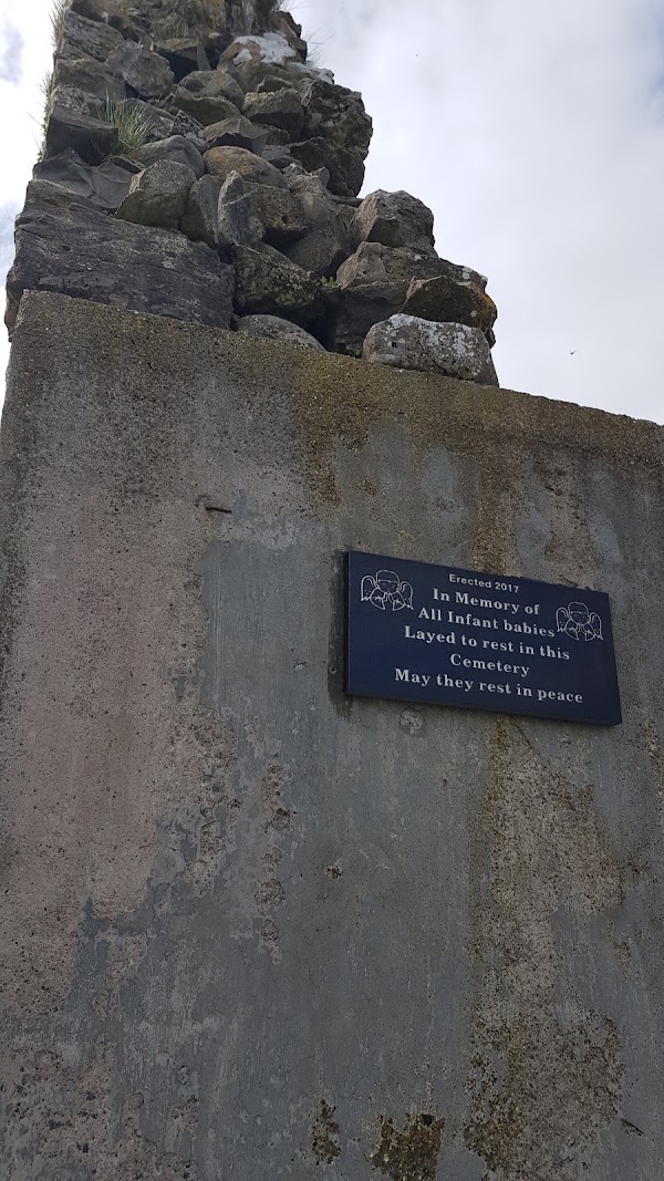 Enclosure in Templemoyle (coolcoo Ed)Enclosure · 1.1 mi
 HawthornHawthorn · 1.2 mi
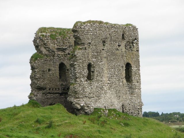 Moylough CastleCastle · 1.2 mi
 Holy Trinity ChurchChurch · 1.3 mi
 CastleCastle, unclassified · 2.5 mi
 SycamoreSycamore · 2.7 mi
 Menlough IRAMemorial · 5.4 mi
 Knockmoy AbbeyHeritage attraction · 6.8 mi
 Mount MaryMountain / peak · 10 mi
 Mass RockNamed rock · 14 mi