What is recorded here
From April 1998 to January 1999 a new storm and foul network of pipes was laid in and around parts of the town of Cashel (Henry 2000, 190). A licence was held to monitor all ground disturbance works in association with this scheme (ibid.).
The area included a narrow lane which extends in a westerly direction away from the walled town and at right angles to the W of Camus Road (ibid. 191). In addition to the medieval deposits and cobbled surfaces a substantial wall (L 7m; average H 0.5m) was uncovered in section(ibid.). Though of medieval date, the wall was pre-dated by organic deposits and surfaces. It was not possible to determine the function of the wall though it has been suggested by the excavator that it is possibly the wall of a large extra-mural building (ibid.).
Compiled by: Jean Farrelly
Date of upload: 31 July 2014
The monument record does not grant public access. Check the route and ask the landowner before entering private land.
- What survives
- Recorded monument
Places near here
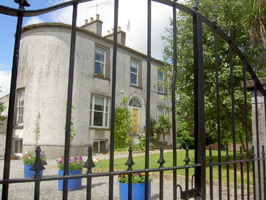 Lower Gate Househouse · 32 yd
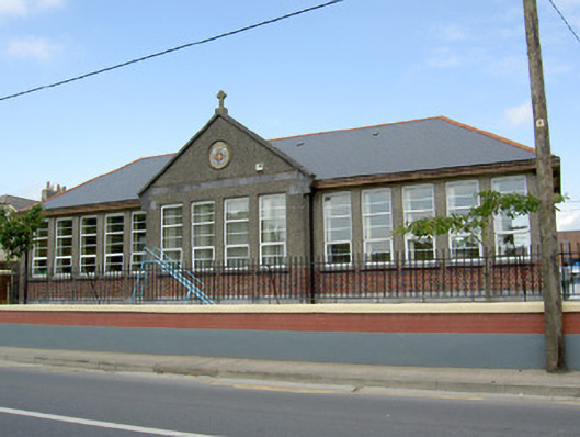 Scoil Chormaicschool · 103 yd
 Black mulberryBlack mulberry · 260 yd
 Cashel Folk MusuemMuseum · 343 yd
 CrossCross, High cross · 363 yd
 The Rock Of CashelVisitor information · 378 yd
 Cormac's ChapelHeritage attraction · 397 yd
 St. Patricks CathedralCathedral · 402 yd
 Ballyknock HillMountain / peak · 1.5 mi
 Site of CastleCastle, unclassified · 1.8 mi
 Gortmakellis CastleCastle · 2.2 mi
 European ashEuropean ash · 4.9 mi