What is recorded here
On level ground 30m S of, and below, a castle site (GA018-036----). Poorly preserved subrectangular enclosure (N-S 15.8m, E-W 14.8m) defined by a low bank of earth and an external fosse except at N where it appears to have been levelled. The interior is flat save for a slight hollow in NE sector. There are faint traces of a slight raised triangular area adjoining it on E side. Possibly the foundations of a building. (CUCAP AYQ 72)
The above description is derived from the published 'Archaeological Inventory of County Galway Vol. II - North Galway'. Compiled by Olive Alcock, Kathy de hÓra and Paul Gosling (Dublin: Stationery Office, 1999).
Date of upload: 05 August 2010
The monument record does not grant public access. Check the route and ask the landowner before entering private land.
- What survives
- Recorded monument
Places near here
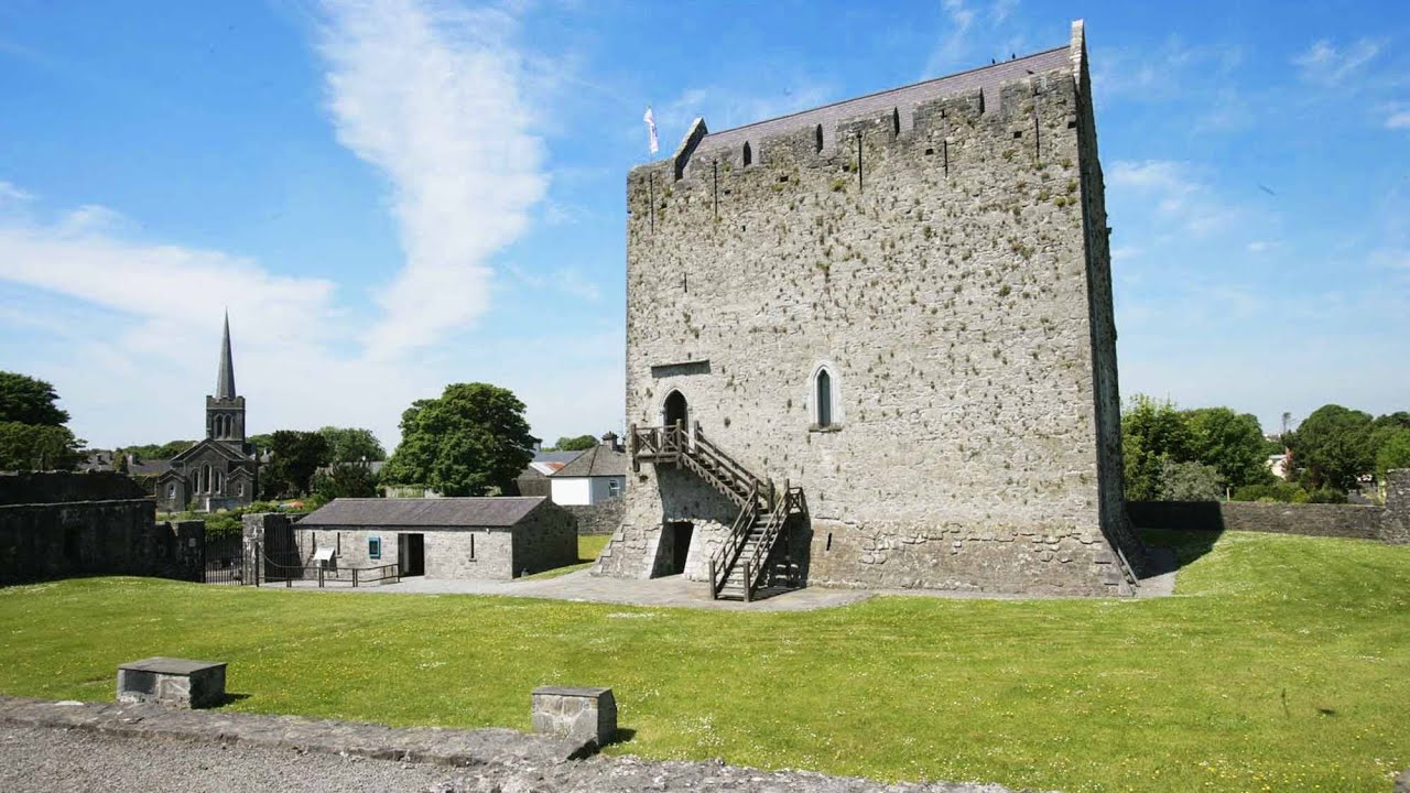 Lerhin CastleCastle · 7 yd
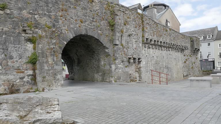 Enclosure in LerhinEnclosure · 426 yd
 Park CastleCastle · 1437 yd
 Enclosure in TimadooaunEnclosure · 1.1 mi
 Derrynabuie Househouse · 1.1 mi
 Clonbern Parkoutbuilding · 1.3 mi
 Cloonavihony WoodForest · 9.2 mi
 Site of Killomaine Grave YardArchaeological place · 9.4 mi
 Mount MaryMountain / peak · 9.8 mi
 Knockmoy AbbeyHeritage attraction · 10 mi
 European ashEuropean ash · 11 mi
 Mass RockNamed rock · 13 mi