What is recorded here
On a rise on a S-facing slope in pasture and within an ecclesiastical enclosure (CL015-059001-). The grassed-over remains of a rectangular building (L c. 9m E-W; Wth c. 4.5m N-S) is visible on OSi MapGenie orthophotography (2013-2018). The remains of the church (CL015-059002-) lie c. 16m to the N.
The following image has been uploaded:
CL015-059006-_01.jpg OSi MapGenie orthophoto 2013-2018 showing location of building
Compiled by: Mary Tunney
Date of upload: 11 July 2023
The monument record does not grant public access. Check the route and ask the landowner before entering private land.
- What survives
- Recorded monument
Places near here
 Church in KillaspuglonaneChurch · 29 yd
 Enclosure in KillaspuglonaneEnclosure · 140 yd
 IndicatedFairy fort / earthen ringfort · 454 yd
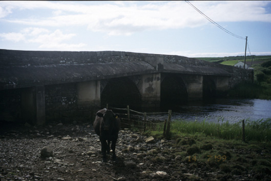 New Bridgebridge · 974 yd
 Dough CastleRuins · 1195 yd
 Lahinch BeachBeach / strand · 1.4 mi
 Kilmanahn GraveyardRuins · 1.4 mi
 Site of Tullamore CastleCastle, unclassified · 1.6 mi
 Famine MemorialMemorial · 1.7 mi
 John P. Holland CentreMuseum · 2.4 mi
 Bridget's Well;St Bridget's WellSpring · 3.3 mi
 TullygarvanWood · 3.3 mi