What is recorded here
The Building in Killaclohane managed to lose an entire forty-six-foot foundation among the trees. You’d hate to report that missing. ‘Where did you last have it?’ ‘Under the house, which is also becoming a concern.’
Identified as the possible site of a church in the SMR (1990). This was based on the field name books of Capt. D. B. O'Connell who recorded in a letter, dated 28 February 1939, that 'At the N.E. corner of the same wood is the foundation of some kind of "house-like" building 46 feet [14m] long by 18 feet [5.5m] wide. That one can see of the foundations looks old but the place is heavily overgrown. Father Donal Reidy, Secretary to our Bishop thinks that there is a faint possibility that it might be the lost church of Ballydriscoll, mentioned in Papal Taxation but not yet identified. This is, I think, pure surmise.' (SMR file) No visible trace of this structure was found on inspection in 2000. In the absence of more precise locational evidence the ITM coordinates provided here can only be considered as indicative.
Identified as the possible site of a church in the SMR (1990). This was based on the field name books of Capt. D. B. O'Connell who recorded in a letter, dated 28 February 1939, that 'At the N.E. corner of the same wood is the foundation of some kind of "house-like" building 46 feet [14m] long by 18 feet [5.5m] wide. That one can see of the foundations looks old but the place is heavily overgrown. Father Donal…
From the National Monuments Service (Archaeological Survey of Ireland) record KE047-043
This remains an important historical record, but the official description says the monument is no longer visible or has been destroyed. The monument record does not grant public access. Check the route and ask the landowner before entering private land.
- What survives
- No visible remains or recorded as destroyed
Places near here
Photo credits
- National Inventory of Architectural Heritage
- Mike Searle, Wikimedia Commons · CC BY-SA 2.0
- User:Itub, Wikimedia Commons · CC BY-SA 3.0
- Keith Cunneen, Geograph · CC BY-SA 2.0
Mass-rock in KillaclohaneMass-rock · 274 ydMegalithic structure in BrackhillMegalithic structure · 481 yd store/warehouse1.2 miSaint Carthage's Church (Kiltallagh)Church/chapel · 1.3 miThe Kerry Creamery ExperienceHeritage attraction · 2.9 miBallygamboon Forest Recreation AreaWood · 3.5 miClash IslandIslet · 4.2 miKnockmoyleMountain / peak · 4.2 miBallymalis CastleCastle · 4.9 miBallymalis Castle (in ruins)Castle, tower house · 4.9 miKing Puck statueMemorial · 5.4 miGlanbrack MountainMountain / peak · 6.1 mi
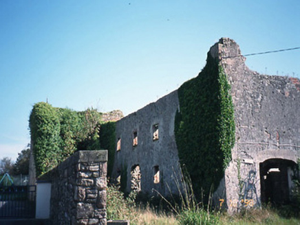 store/warehouse1.2 mi
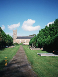 Saint Carthage's Church (Kiltallagh)Church/chapel · 1.3 miThe Kerry Creamery ExperienceHeritage attraction · 2.9 miBallygamboon Forest Recreation AreaWood · 3.5 miClash IslandIslet · 4.2 miKnockmoyleMountain / peak · 4.2 mi
_-_geograph.org.uk_-_1392760.jpg/250px-Castles_of_Munster,_Ballymalis,_Kerry_(3)_-_geograph.org.uk_-_1392760.jpg "Photo: Mike Searle, Wikimedia Commons · CC BY-SA 2.0") Ballymalis CastleCastle · 4.9 mi
Ballymalis CastleCastle · 4.9 mi Ballymalis Castle (in ruins)Castle, tower house · 4.9 mi
 King Puck statueMemorial · 5.4 mi
 Glanbrack MountainMountain / peak · 6.1 mi
More historic places in County Kerry · All of County Kerry
What do you know about this place?