What is recorded here
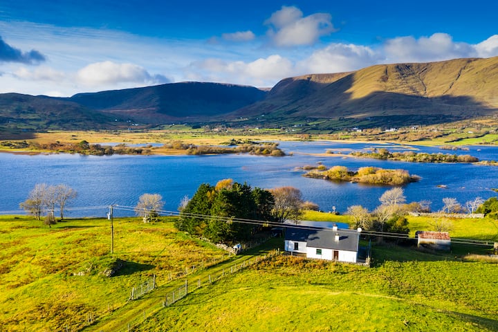
In pasture, located on an ENE facing slope overlooking an inlet of Blacksod Bay. Included in the RMP (1997) on the basis of a published record (Moran 1942, 149) of a ruined rectangular building (c. 9m x c. 13m) and circular building (MA044-009006-) which were located c. 90m to NW of a mound (MA0044-009001-) and cross-inscribed pillar (MA044-009002-). A rectangular building or house, on a NE–SW axis, is shown at roughly this location on the 1838 OS 6-inch map, and on the 1920 edition as a rectangular 3-sided structure or ruined building. Field inspection determined that the building is a ruined vernacular structure used as an animal shelter.
Compiled by: Jane O'Shaughnessy
Date of upload: 13 July 2015
The monument record does not grant public access. Check the route and ask the landowner before entering private land.
- What survives
- Recorded monument
Places near here
 Site of CastleCastle, unclassified · 1058 yd
 Annagh IslandMountain / peak · 1581 yd
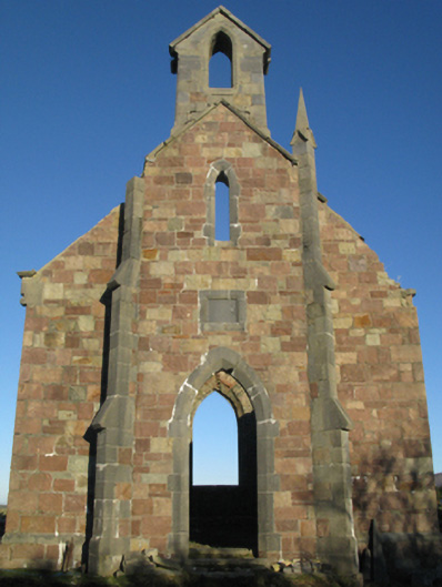 Holy Trinity Church (Ballycroy)church/chapel · 1718 yd
 Druids CircleFairy fort / earthen ringfort · 1.1 mi
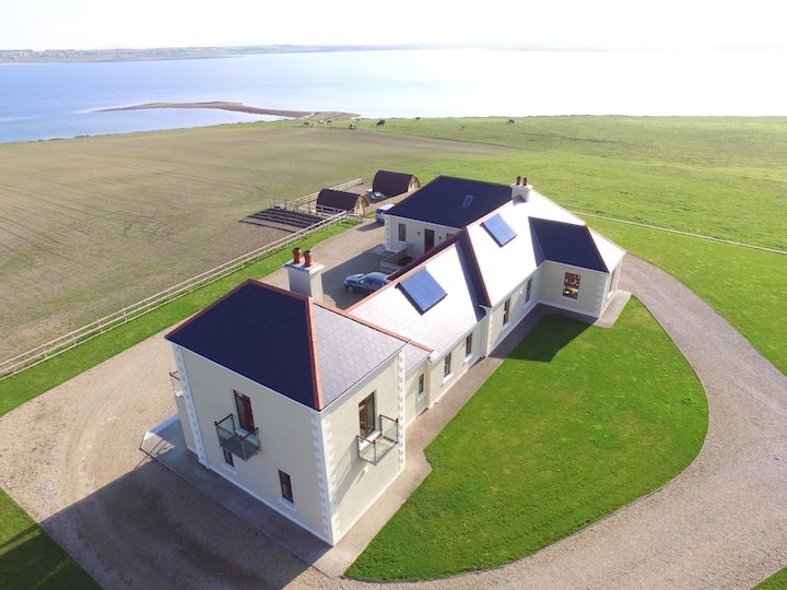 Claggan O'Donnell PlantationForest · 1.3 mi
 Rock Househunting/fishing lodge · 1.4 mi
 Tober FintanyHoly well · 1.4 mi
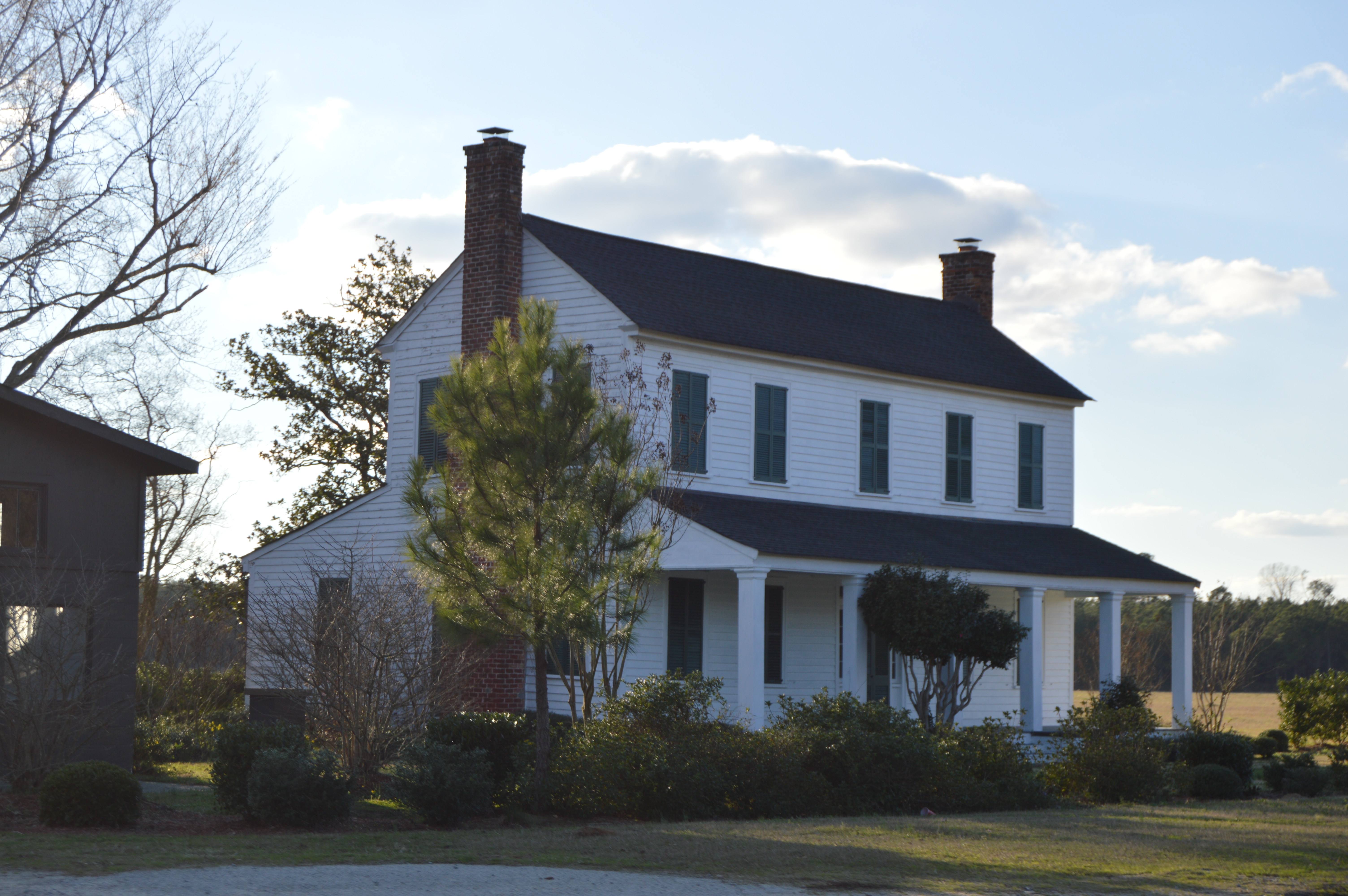 Rock House PlantationForest · 1.4 mi
 Illannamona IslandsIslet · 1.9 mi
 Oileán FraoighIslet · 2.0 mi
 Gob na Carraige MóireHeadland · 2.2 mi
 Gob an LoingsighHeadland · 2.3 mi