What is recorded here
Excavation licence number 01E0807. Five stone structures, in various states of disrepair, as well as an area of 'lazy-beds' and a boundary wall on an island known as Rough Point, Killybegs, were excavated in advance of a major pier development. Structure 3a was on the lower part of the island. Aligned north-south on its long axis, it measured 12m by 6m. This structure was in an advanced state of disrepair, with almost all of the eastern wall being absent. The southern part of this structure was floored with a series of closely set flagstones, which included two broken rotary quernstones. The wall was constructed of large boulders and smaller stones, loosely bonded with clay. The structure had rounded ends, and survived to an average height of 0.8m. The floor appears to have consisted of compacted clay and gravel. Structure 3b was on the lower part of the island, immediately to the east of Structure 3a. No fireplace was noted in either Structure 3a or Structure 3b. The finds recovered from these structures consisted almost entirely of pottery. Although less than 200 sherds were retrieved, they suggest a 17th-century date for this settlement. From supporting cartographic and documentary evidence, it would appear that the site represents part of the original Plantation settlement of Killybegs. (Excavations Bulletin 2001)
Frank Coyne, Æegis Archaeology Ltd, 16 Avondale Court, Corbally Limerick.
The monument record does not grant public access. Check the route and ask the landowner before entering private land.
- What survives
- Recorded monument
Places near here
 Killybegs Glebe EnclosureEnclosure · 143 yd
 St Catherine's WellHoly well · 301 yd
 St Catherine's Church and FriaryChurch · 318 yd
 Bawn in KillybegsBawn · 333 yd
 Cat CastleCastle, tower house · 342 yd
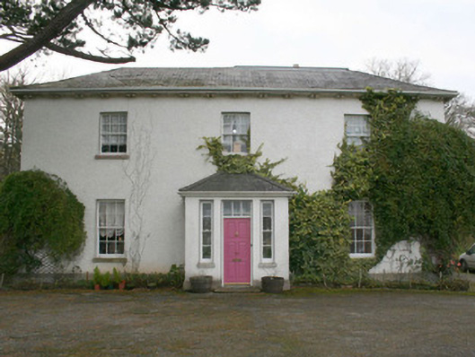 The Old Rectory or St. Catherine'srectory/glebe/vicarage/curate's house · 478 yd
 Rashenny PointHeadland · 1042 yd
 Rotten IslandIslet · 1.0 mi
 Carntullagh HeadHeadland · 1.1 mi
 European BeechEuropean Beech · 1.4 mi
 FintraOfficial bathing water · 2.0 mi
 Wych ElmWych Elm · 2.2 mi