What is recorded here
Located on the summit of Culmullin hill and built into the SW side of the motte (ME043-018----). A large two storey house, probably with a return, is represented on the Down Survey (1658) barony map of Deece at Culmullin close to the church. According to the Civil Survey (1654) 332 acres at Culmullin were owned by the Lord of Slane and there was on the land a stone house and a church, both ruined (Simington 1940, 146).
This is a rectangular masonry structure (dims c. 14m NW-SE; c. 6m NE-SW) reduced to one storey with a vault that is now divided in two by an inserted wall. Each chamber has a lintelled doorway and splayed rectangular window in the SW wall and there is a narrow light in an embrasure in the NW wall. There is a small vaulted alcove off the NE wall of the SE chamber, which is built into the mound of the motte.
Compiled by: Michael Moore
29 March 2019
The monument record does not grant public access. Check the route and ask the landowner before entering private land.
- What survives
- Recorded monument
Places near here
 CastleCastle, motte · 28 yd
 Church (Site of)Church · 258 yd
 St Nicholas WellHoly well · 916 yd
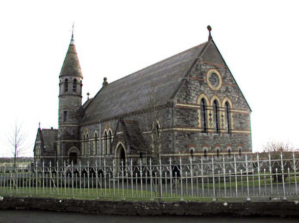 Catholic Church of Saint Martin of Tourschurch/chapel · 1194 yd
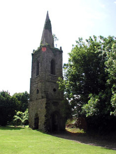 Knockmark Churchchurch/chapel · 1.8 mi
 MullaghMountain / peak · 2.4 mi
 1798 MemorialMemorial · 2.8 mi
 Dunsany WoodWood · 2.9 mi
 Railway Woods (North)Forest · 3.1 mi
 Dunsany CastleCastle, unclassified · 3.1 mi
 Lismahon 1798 MemorialMonument · 3.6 mi
 Larchil Arcadian GardensHeritage attraction · 3.7 mi