What is recorded here
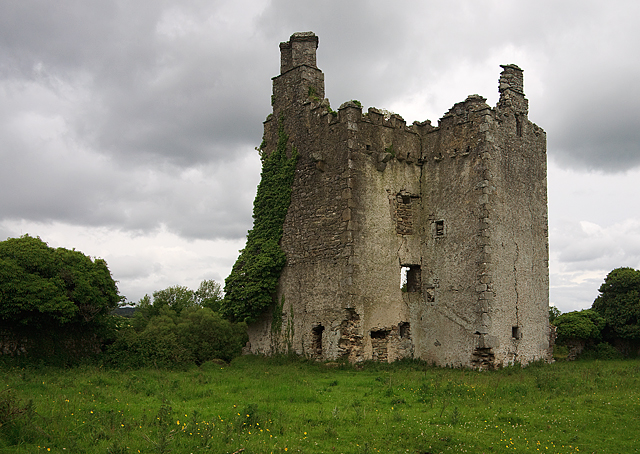
Unlocated building within townland indicated on the Down Survey (1655-6) map.
Compiled by: Caimin O'Brien
Date of upload: 17 December 2007
The monument record does not grant public access. Check the route and ask the landowner before entering private land.
- What survives
- Recorded monument
Places near here
 Mass Rock WalkWalking route · 1227 yd
 Cobbler's Castle WalkWalking route · 1278 yd
 Mass RockNamed rock · 1498 yd
 Concentric enclosure in BallintubbertConcentric enclosure · 1557 yd
 Oughaval Wood MapVisitor information · 1.1 mi
 Pedunculate OakPedunculate Oak · 1.1 mi
 Ballyduff WoodWood · 1.1 mi
 DM PenderMemorial · 1.2 mi
 Saint Brigid's Church (Ballyadams)church/chapel · 1.2 mi
 OutlinedHoly well · 1.2 mi
 Ballintubbert Houserectory/glebe/vicarage/curate's house · 1.3 mi
 CEMETERYGraveyard · 1.5 mi