What is recorded here
In pasture, on top of a drumlin. The remains of a possible structure are evident in the W half of the interior of Aughris rath (SL039-012001-). It consists of two parallel rubble stone walls (on a N-S axis), c. 6m apart. The W wall (T 1.5m; int. H 0.55m; ext. H 0.4m) measures 13.1m in length and the E wall (T 1.5m; int. H 0.25m; ext. H 0.75m) is 11.9m in length.
Compiled by: Archaeological Survey Unit, UCC with revisions by Patrick F. O'Donovan and Paul Walsh
Date of upload: 20 June 2011
The monument record does not grant public access. Check the route and ask the landowner before entering private land.
- What survives
- Recorded monument
Places near here
 Fairy fort / stone ringfort in Lissananny MoreFairy fort / stone ringfort · 565 yd
 Abbey (in Ruins)Church · 887 yd
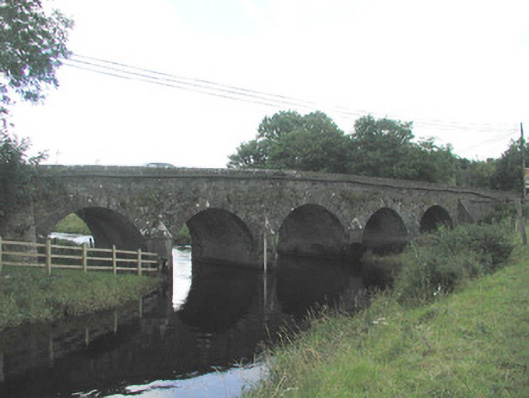 Big Bridgebridge · 1.5 mi
 IndicatedFairy fort / earthen ringfort · 1.6 mi
 Ballymote CastleCastle · 1.6 mi
 Brother WalfridMemorial · 1.7 mi
 RathdoonyCastle, motte · 2.0 mi
 Tymon's HillMountain / peak · 2.7 mi
 ElderElder · 3.4 mi
 Caves of KeshCave · 3.8 mi
 European ashEuropean ash · 4.0 mi
 Kesh CorannMountain / peak · 4.2 mi