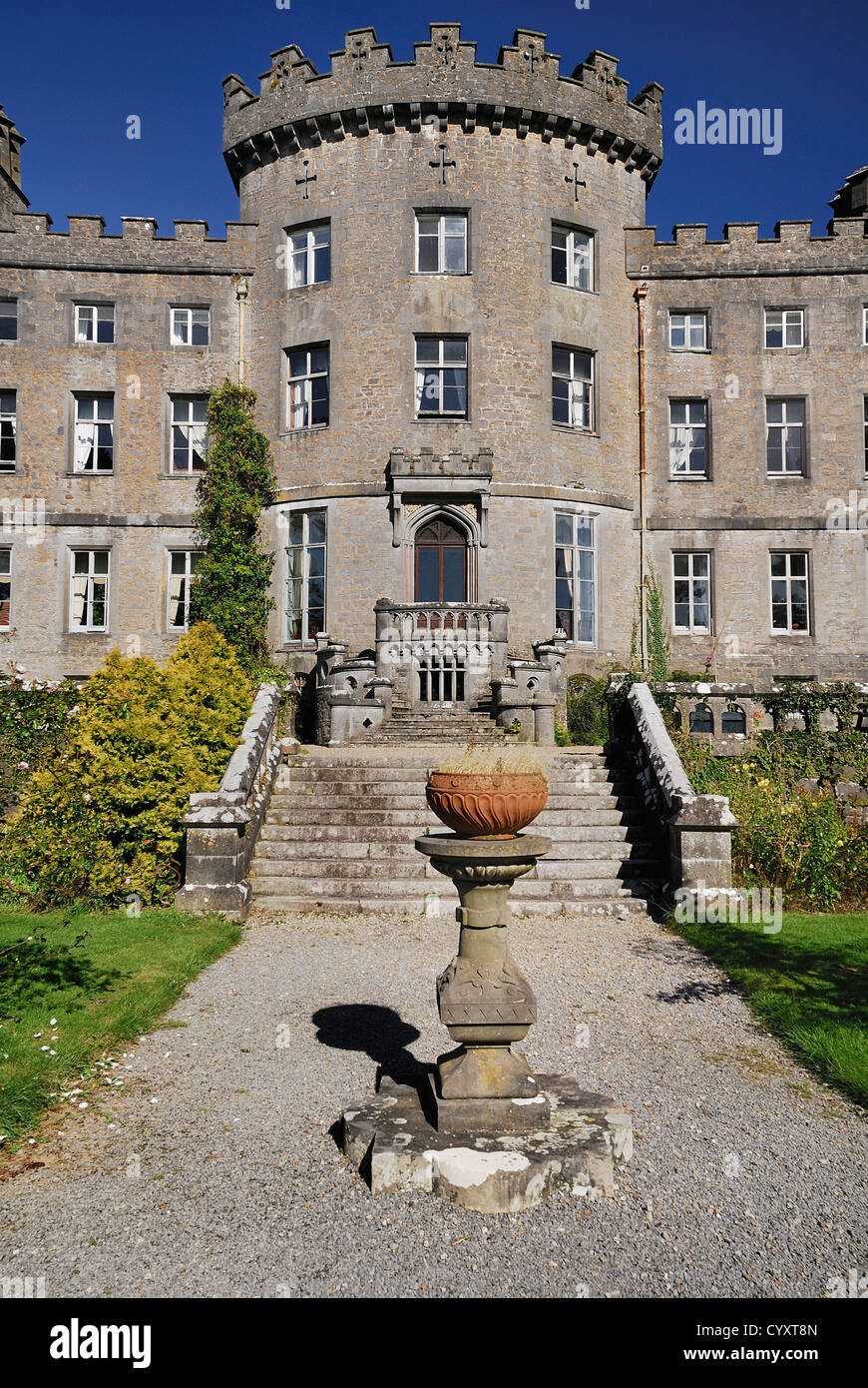
What is recorded here
In pasture, on an E-facing slope adjacent to the W shore of Lough Arrow. Listed in the RMP (1995) as 'Building'. The remains consist of a substantial rectangular building (ext. 14m NNW-SSE x 8m ENE-WSW) defined by a low ruined wall which survives as a sod-covered bank (Wth 1.5m; H 0.6 at SW and 0.2m at NE). There is a pronounced external dip at the E and SE where the structure has been built up to compensate for the slope and create a level interior. A possible entrance is visible as a break at the N end of the W wall. To the SW are the remains of a possible kiln (SL040-0168001-) and another structure (SL040-168002-) and further to the WSW is a raised rectangular platform (SL040-168004-). Although the date of these features cannot be determined with any degree of accuracy it is likely that they date to the post-AD 1700 period.
Compiled by: Paul Walsh
Date of upload: 17 January 2012
The monument record does not grant public access. Check the route and ask the landowner before entering private land.
- What survives
- Recorded monument
Places near here
 Church in AghanaghChurch · 344 yd
 Enclosure in AghanaghEnclosure · 391 yd
 Font in AghanaghFont · 552 yd
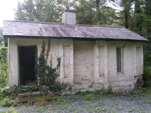 Hollybrook Housegate lodge · 1523 yd
 Ballinafad CastleCastle · 1563 yd
 Muck IslandIslet · 1739 yd
 MoatCastle, motte · 1.2 mi
 Loughbrick BayBay · 1.8 mi
 Carricknahorna EastMountain / peak · 1.8 mi
 InishmoreIslet · 2.3 mi
 Bricklieve MountainsMountain / peak · 2.4 mi
 The CopseWood · 2.6 mi
Other information
Photo: Credit not shown in the picture search · Rights wording not checked; contact us if this picture should be removed