
What is recorded here
Buckie, Railway Bridge is a railway bridge in Moray, Scotland.
Places near here
Photo credits
- Anne Burgess, Wikimedia Commons · CC BY-SA 2.0
- Maker not stated on source page, commons.wikimedia.org
- Maker not stated on source page, en.wikipedia.org
- Maker not stated on source page, www.alamy.com
- thejackrustles, Wikimedia Commons · CC BY-SA 2.0
- JThomas, Wikimedia Commons · CC BY-SA 2.0
- Richard Sutcliffe, Wikimedia Commons · CC BY-SA 2.0
- Maker not stated on source page, www.pinterest.com
- Christopher Gillan, Wikimedia Commons · CC BY-SA 2.0
 Buckie, Gordon Street, GeneralRoad · 193 yd
 Buckie, Titness Street, Wesleyan Methodist ChurchChurch (20th Century) · 271 yd
 Buckie, West Church Street, Gospel HallHall (20th Century), Nonconformist Meeting House (20th Century) · 298 yd
 Buckie, West Church Street, Baptist ChurchChurch (19th Century) - (20th Century), Hall (20th Century) · 333 yd
 Buckie, St Andrews Square, St Peter's Roman Catholic Church, PresbyteryPresbytery (post Medieval) · 333 yd
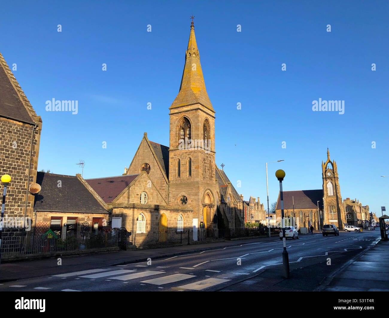 Buckie, West Church Street, Victoria BridgeRoad Bridge · 339 yd
 Buckie, St Peter's ChurchCist (bronze Age), Beaker (bronze Age) · 360 yd
 Start of the Speyside WayVisitor information · 548 yd
 Buckie War MemorialMemorial · 590 yd
 Memorial to Rev. Robert ShanksMemorial · 597 yd
 Pot Of Linn WoodsWood · 1620 yd
 Inchgower DistilleryVisitor attraction · 1.0 mi
More historic places in Moray · All of Moray

What do you know about this place?Tap to add a comment or ask a question