
What is recorded here
Single-arch hump back road bridge over river, extant 1903. Sited spanning Urrin River with unkempt banks to river.
A bridge representing an integral component of the nineteenth-century civil engineering heritage of County Wexford: meanwhile, a discreet benchmark remains of additional interest for the connections with cartography and the preparation of maps by the Ordnance Survey (established 1824).
This does not grant access. Most recorded buildings are privately owned; view them only from public ground unless the owner allows entry.
Places near here
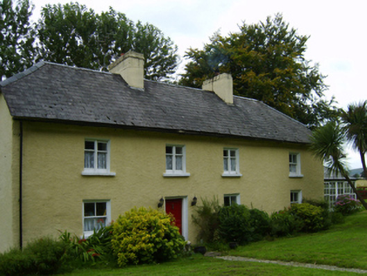 steward's housesteward's house · 1381 yd
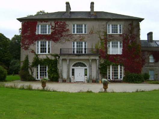 Woodbrook Housecountry house · 1509 yd
 Embanked enclosureEnclosure, large enclosure · 1573 yd
 1798 MemorialMemorial · 1.8 mi
 Cross in Askinvillar UpperCross · 1.8 mi
 Killoughrum ForestForest · 2.6 mi
 SlievebaunMountain / peak · 3.5 mi
 Pedunculate OakPedunculate Oak · 3.8 mi
 Clorogue BegMountain / peak · 4.0 mi
 Ruin of a small castleRuins · 4.4 mi
 Daphney CastleCastle, unclassified · 5.7 mi
 Mount LeinsterMountain · 5.7 mi
Other information
Photo: National Inventory of Architectural Heritage · Website use allowed for educational or private purposes with source credit