What is recorded here
On a NW-facing slope overlooking Powerstown River. Annotated as ‘Monastery’ on the 1st (1839) ed. OS 6-inch map, though the precise location is not indicated. On the 1900 revision it is indicated as, ‘Monastery (Site of)’ with a cross marking the location.
According to Carrigan (1905, vol. 4, 278-80), the Abbey of Killenny, a daughter house of Jerpoint Abbey, was located, ‘in the townland of Old Abbey, now Barrowmount', between the years 1162 and 1166. The author of the OS Letters (1839) was not convinced that there had been a monastery (KK025-015001-) at this location and suggests that instead there was a castle which was subsequently demolished to provide building material for Brookhill House, which even by 1839 was itself in ruins (O’Flanagan 1930, vol. 2, 25-6 (9-10)). Brookhill House does not survive above ground level, however, large blocks of granite and some cut-stone fragments were noted, during a field inspection in 1994, in the outbuildings and surrounding walls associated with the house. These appear to have come from a medieval building, though the nature of that building could not be ascertained.
Compiled by: Jean Farrelly
Date of upload: 28 February 2022
The monument record does not grant public access. Check the route and ask the landowner before entering private land.
- What survives
- Recorded monument
Places near here
 MonasteryReligious house, unclassified · 62 yd
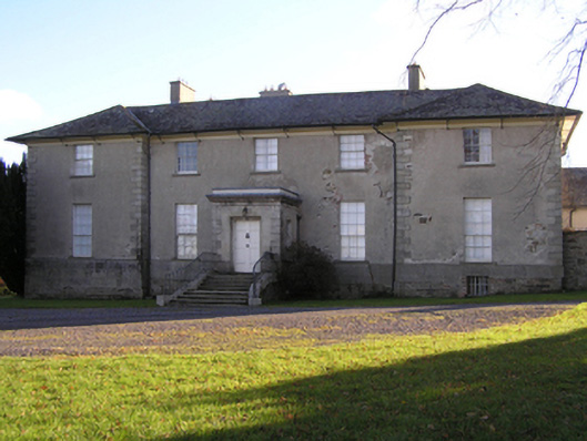 Barrowmount Housecountry house · 436 yd
 Druid's AltarArchaeological place · 1009 yd
 Not indciatedEnclosure · 1152 yd
 Drumroe Castle (ruins)Castle · 1238 yd
 CastleCastle, motte · 1.2 mi
 Tinnakeenly BogForest · 2.0 mi
 The bogForest · 2.1 mi
 The Barrow WayVisitor information · 4.9 mi
 The PoundMemorial · 5.1 mi
 Kilcullaun Church (in ruins), GraveyardChurch · 5.5 mi
 Tullaherin Church and Round TowerVisitor information · 6.4 mi