
What is recorded here
Map note: There is a map point for Broch + Settlement (Iron Age), an ancient site near Stromness, Orkney Islands, Scotland. The past can keep its secrets; the map gives you a starting point.
From OpenStreetMap (© OpenStreetMap contributors) n9447543948
Places near here
Photo credits
- Maker not stated on source page, www.pinterest.com
- Anne Burgess, Wikimedia Commons · CC BY-SA 2.0
- Bill Boaden, Wikimedia Commons · CC BY-SA 2.0
- Richard Webb, Wikimedia Commons · CC BY-SA 2.0
- N Chadwick, Wikimedia Commons · CC BY-SA 2.0
- Derek Mayes, Wikimedia Commons · CC BY-SA 2.0
- Maker not stated on source page, www.mustdocanada.com
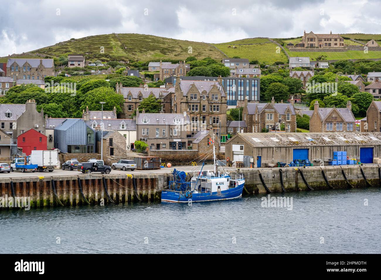
- Maker not stated on source page, www.alamy.com
 Bu of Cairston CastleArchaeological place · 40 yd
 Garson HouseLairds House · 1044 yd
 Stromness, Coplands Road, Stromness AcademySchool (20th Century) · 1105 yd
 Stromness, Howe RoadMilitary Camp (20th Century) · 1348 yd
 Howe FarmFarmhouse (post Medieval), Farmstead (post Medieval), Fence(s), Rig and Furrow (medieval) - (post Medieval), Settlement (neolithic) (possible), Telegraph Pole(s) (20th Century), Track(s) · 1500 yd
 HamnavoeBay · 1548 yd
 Market GreenPark · 1559 yd
 Stromness War MemorialMemorial · 1662 yd
 Inner HolmIslet · 1675 yd
 Messenger: Shoal Point, Stromness Harbour Entrance, Orkney, AtlanticCraft (19th Century) · 1.0 mi
 Stromness Ferry TerminalVisitor information · 1.0 mi
 Gnome: Stromness Harbour Entrance, Orkney, AtlanticSteamship (19th Century) · 1.0 mi
More archaeology and monuments in Orkney Islands · All of Orkney Islands

What do you know about this place?Tap to add a comment or ask a question