
What is recorded here
In improved pasture, near the base of a NW-facing slope. Named 'Bridget's Well' on 1840 and 1904 ed. OS 6-inch map. Though not visible at ground level, this appears to be a natural spring well which abuts the outside angle of a field boundary. The spring drains into a linear channel (long-axis ENE-WSW) which extends for a short distance to the WSW before turning at an obtuse angle to the NW. According to local information, this was always a wet area.
Compiled by: Jean Farrelly
Date of upload: 26 August 2011
Linked to St. Brigid, the well is associated with traditional healing practices and is believed to have curative properties, particularly for women's ailments. The site's long-standing veneration is reflected in its appearance on early Ordnance Survey maps and its possible connection to pre-Christian water worship traditions.
The monument record does not grant public access. Check the route and ask the landowner before entering private land.
- What survives
- Recorded monument
Places near here
 Enclosure in Pallas (donohill Par.)Enclosure · 387 yd
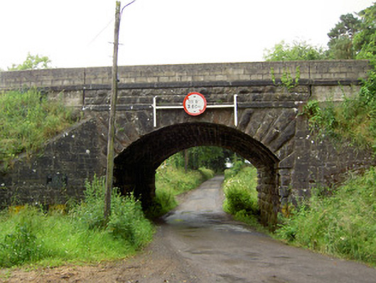 Ballyrobin Bridgebridge · 779 yd
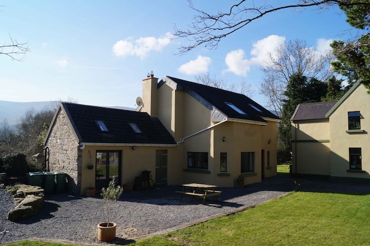 Enclosure in Alleen (hogan) (donohill Par.),lisheenfrankagh,pallas (donohill Par.)Enclosure · 1107 yd
 Church (in ruins)Church · 1311 yd
 Donohill MoatCastle, motte and bailey · 1472 yd
 Shanbally fortCastle, ringwork and bailey · 1.5 mi
 Soloheadbeg Ambushambush · 2.0 mi
 Maudemount BogWood · 2.1 mi
 Soloheadbeg Ambush SiteMemorial · 2.5 mi
 Dundrum Woods (Marl Bog)Forest · 2.7 mi
 I.R.A. 3rd. Tipperary Brigade MemorialMemorial · 4.2 mi
 It's a long way to TippereryHeritage attraction · 4.6 mi
Other information
Photo: Credit not shown in the picture search · Rights wording not checked; contact us if this picture should be removed