
What is recorded here
Map note: Near Craigearn, Aberdeenshire, Scotland, the map records Bridge of Muchalls as a road bridge. The building's name has a tale to tell, even when the record is short.
Places near here
Photo credits
- Maker not stated on source page, www.youtube.com
- Maker not stated on source page, uk.pinterest.com
- Maker not stated on source page, www.pinterest.com
- Maker not stated on source page, letsgowiththechildren.co.uk
- Maker not stated on source page, www.outdooractive.com
- Richard Webb, Wikimedia Commons · CC BY-SA 2.0
- Alan Findlay, Wikimedia Commons · CC BY-SA 2.0
- Colin Smith, Wikimedia Commons · CC BY-SA 2.0
- Peter Ward, Wikimedia Commons · CC BY-SA 2.0
- Stanley Howe, Wikimedia Commons · CC BY-SA 2.0
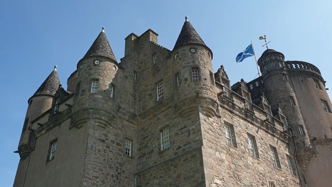 Castle Fraser PoliciesRig and Furrow (medieval) - (post Medieval) · 98 yd
 Castle Fraser Policies, Colonel Frederick Mackenzie Fraser MemorialCommemorative Monument · 410 yd
 Castle Fraser Policies, Alton BraeClearance Cairn(s), Structure · 431 yd
 Castle Fraser Policies, John Bell FieldEnclosure (possible), Plantation Bank, Rig and Furrow (medieval) - (post Medieval) · 888 ydCastle Fraser, SundialSundial · 1051 yd
 Castle Fraser, Whin MillWhin Mill (post Medieval) · 1064 yd
 Castle Fraser Walled GardenGarden · 1065 ydCastle Fraser Policies, WalkendField Boundary, Rig and Furrow (medieval) - (post Medieval) · 1116 yd
 Castle Fraser, Gardener's CottageCottage (post Medieval) · 1121 yd
 Castle FraserVisitor attraction · 1176 yd
 Castle Fraser Stone circleArchaeological place · 1274 yd
 Miss Bristow's WoodWood · 1.0 mi
More historic places in Aberdeenshire · All of Aberdeenshire

What do you know about this place?Tap to add a comment or ask a question