
What is recorded here
Single-span railway bridge over road, opened 1863, on a skewed plan. Damaged, 1922. Tuck pointed coursed or snecked rock faced walls between tuck pointed coursed or snecked rock faced battered abutment walls with cut-granite chamfered coping to dwarf parapets centred on riveted rolled steel girder. Sited spanning road with unkempt embankments to road.
A bridge identified as an integral component of the mid nineteenth-century civil engineering heritage of north County Wexford on account of the connections with the extension of the Dublin, Wicklow and Wexford Railway (DWWR) line opened (1863) by the Dublin, Wicklow and Wexford Railway (DWWR) Company: meanwhile, a benchmark remains of additional interest for the connections with cartography and the preparation of maps by the Ordnance Survey (established 1824).
This does not grant access. Most recorded buildings are privately owned; view them only from public ground unless the owner allows entry.
Places near here
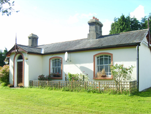 Inch Railway Stationstation master's house · 226 yd
 Fulacht fia in KillybegsFulacht fia · 535 yd
 IndicatedFairy fort / ringfort · 828 yd
 RectoryRuins · 1170 yd
 CastleCastle, unclassified · 1.0 mi
 Ballyfad WoodWood · 1.9 mi
 Curragh WoodWood · 2.2 mi
 Arklow RockMountain / peak · 3.3 mi
 Tara HillMountain / peak · 3.3 mi
 Clogga StrandBeach / strand · 3.4 mi
 Nuns BeachBeach / strand · 3.7 mi
 White Heaps 1798Memorial · 3.8 mi
Other information
Photo: National Inventory of Architectural Heritage · Website use allowed for educational or private purposes with source credit