
What is recorded here
This bridge spanned a stream that ran NE of the Liffey. It is shown on the Friends of Medieval Dublin Map (1978) and mentioned by Bradley and King (1987, iii, 191, No. 33). No visible surface trace.
The monument record does not grant public access. Check the route and ask the landowner before entering private land.
- What survives
- Recorded monument
Places near here
 Courthouse in Unknown TownlandCourthouse · 15 yd
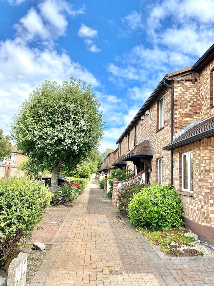 SteamBoxGallery · 72 yd
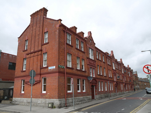 apartment/flat (purpose-built)apartment/flat (purpose-built) · 90 yd
 Religious houseReligious house, Augustinian canons · 123 yd
 Saint James' GateHeritage attraction · 202 yd
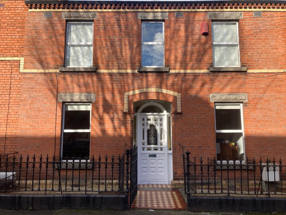 Habitation site in Unknown TownlandHabitation site · 285 yd
 European PearEuropean Pear · 367 yd
 Graveyard in Unknown TownlandGraveyard · 421 yd
 Croppies Acre MemorialMemorial · 831 yd
 Bus Route InformationVisitor information · 964 yd
 CastleCastle, unclassified · 999 yd
 Gairdín Foirmiúil Ospidéal Ríoga Chill MhaighneannVisitor information · 1345 yd
Other information
Photo: Credit not shown in the picture search · Rights wording not checked; contact us if this picture should be removed