What is recorded here
The precise location of a medieval bridge which crosses the tail race (DU018-020982-) of the medieval watermills (DU018-020226-/0096-/0230-) depicted on Speed's 1610 map of Dublin City has not been identified. This bridge crossed a watercourse (DU018-020374-/0739/0982-), sections of which have been excavated on the S side of Oliver Bond Street by Linzi Simpson and the tail race on the N side of Oliver Bond Street excavated by Clare Walsh in 1997. This bridge may have carried the medieval road or King's HighWayreferred to in 1347-8 as 'a lane called Lotebourne, extending from the King's high way outside Gormund's Gate' (CARD Vol. 1, 123). This Lotebourne Lane was later renamed Mullinahack Lane (Clarke 2002, 15).
Walsh, C. 1997 Archaeological Assessment of a development site at Oliver Bond St. / Augustine St., Dublin 2. Unpublished report licence no. 97E0061 submitted to the National Monuments Service.
See attached section of Speed's 1610 Map of Dublin City showing the bridge located to W of Gormonds Gate (DU018-020029-) and to the N of Mullinahack Mill (DU018-020096-), 'The mill's' are indicated with an X.
Compiled by: Caimin O'Brien
Date of upload: 27 June 2023
The monument record does not grant public access. Check the route and ask the landowner before entering private land.
- What survives
- Recorded monument
Places near here
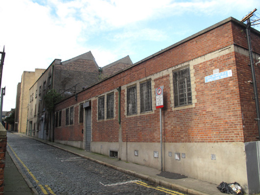 factoryfactory · 66 yd
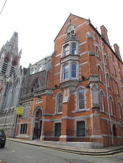 priorypriory · 93 yd
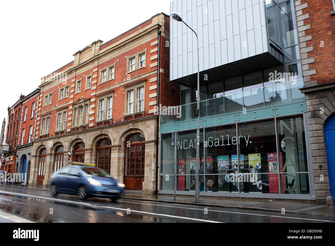 NCAD GalleryGallery · 163 yd
 Gairdín Súgartha i gCuimhne ar na Páistí a Cailleadh in 1916Memorial · 165 yd
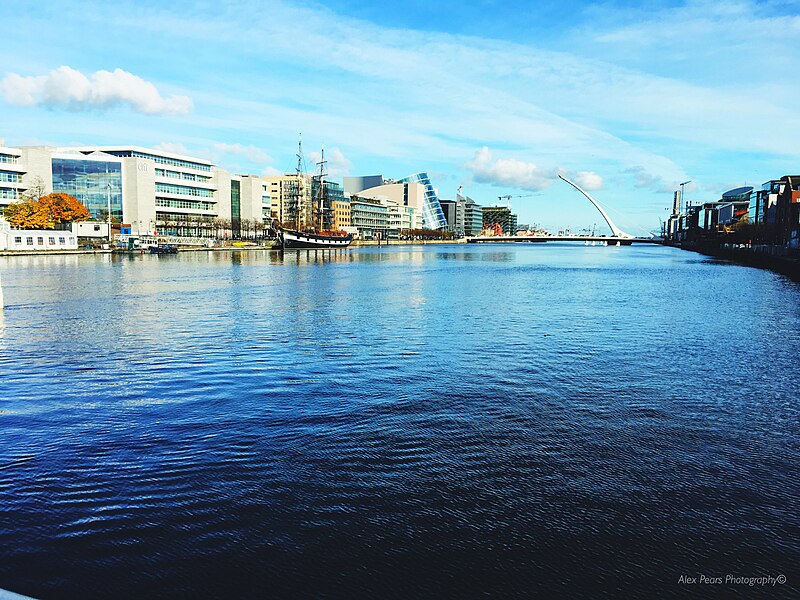 Quay in Unknown TownlandQuay · 192 yd
 Medieval DublinVisitor information · 221 yd
 Medieval City Wall and St. Audeon's ArchHeritage attraction · 253 yd
 Cross-slab in Unknown TownlandCross-slab · 262 yd
 European PearEuropean Pear · 451 yd
 Croppies Acre MemorialMemorial · 719 yd
 CastleCastle, unclassified · 870 yd
 London PlaneLondon Plane · 1020 yd