What is recorded here
In pastureland on the NW bank of the Ballinure River. This bridge of is built of random rubble with a lime-based mortar. One partially collapsed semicircular arch (dims. H 0.85m; Wth 1.9m; L c. 2m) of thin voussoirs (L 0.5m) survives. It is grass covered but its external face is visible on the S side. The original road metal (L 4m) is covered in thick tufts of grass and no parapet wall survives. The archway is now dry as the present course of the river has been diverted c. 2m to the S and it has evidently been deepened. The bridge would have originally crossed the river at a right angle. According to local information, this bridge was in use before the existing stone bridge was constructed c. 4.2m to its E.
Compiled by: Olive Alcock
Date of upload: 4 April 2017
The monument record does not grant public access. Check the route and ask the landowner before entering private land.
- What survives
- Recorded monument
Places near here
 IndicatedFairy fort / earthen ringfort · 629 yd
 Enclosure in TempleparkEnclosure · 708 yd
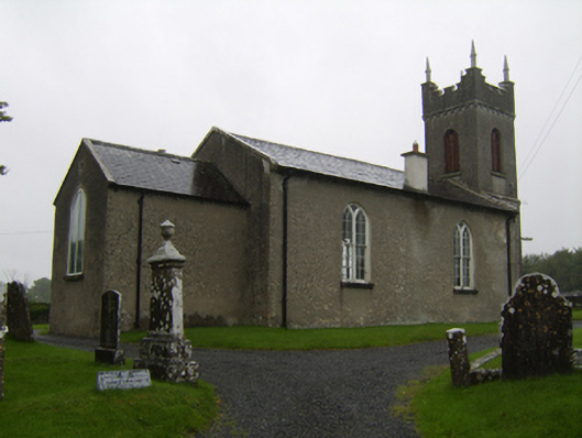 Saint Matthew's Church (Clontuskert)church/chapel · 973 yd
 Urraghry HillMountain / peak · 1014 yd
 Ballagh Castle (in Ruins)Castle, unclassified · 1.2 mi
 The bloody HollowHeritage attraction · 1.3 mi
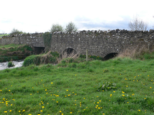 Ballinure Bridgebridge · 1.4 mi
 Battle of AughrimMajor battlefield · 1.5 mi
 West WoodWood · 1.8 mi
 Castle (Site of)Castle, Anglo-Norman masonry castle · 1.9 mi
 Battle of Aughrim Interpretative CentreMuseum · 1.9 mi
 Oak WoodWood · 2.8 mi