What is recorded here
According to the Civil Survey (1654-6) Lord Mountnorris owned 930 acres in the townlands of Camolin, Milshoge, Tullabeg and the unknown Cranecrenecty as the manor of Misshoge or Medophall. On this property was a stone house (WX016-007----), a mill (WX011-031----), and a bridge. The location of the bridge is not known. (Simington 1953, 272)
Compiled by: Michael Moore
Date of upload: 12 April, 2012
The monument record does not grant public access. Check the route and ask the landowner before entering private land.
- What survives
- Recorded monument
Places near here
 Milshoge RockMountain / peak · 828 yd
 Enclosure in NorrismountEnclosure · 889 yd
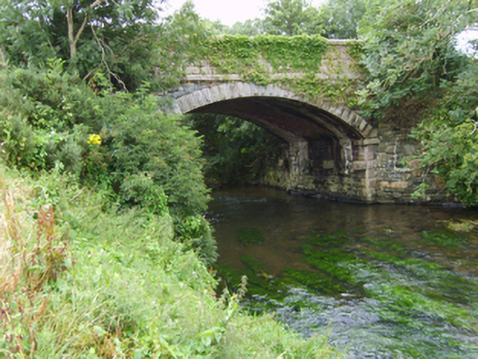 Milshoge Bridgebridge · 1108 yd
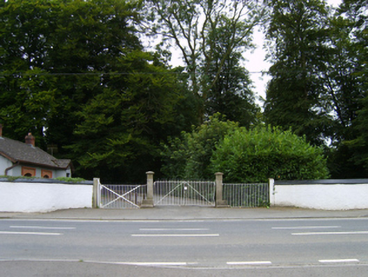 Camolin Housegates/railings/walls · 1341 yd
 White WellHoly well · 1592 yd
 Giants BedNamed rock · 1.6 mi
 Carrigroe HillMountain / peak · 1.7 mi
 The GroveWood · 2.3 mi
 Camolin WoodForest · 2.3 mi
 Ferns Castle (in ruins)Castle, Anglo-Norman masonry castle · 3.6 mi
 Father Murphy CentreHeritage attraction · 4.0 mi
 CastleCastle, unclassified · 4.5 mi