What is recorded here
Unlocated bridge within townland that is marked on the Down Survey parish map.
Compiled by: Caimin O'Brien
Date of upload: 17 December 2007
The monument record does not grant public access. Check the route and ask the landowner before entering private land.
- What survives
- Recorded monument
Places near here
 Enclosure in RossbaunEnclosure · 1415 yd
 IndicatedEnclosure · 1566 yd
 Cloncourse CastleHouse, fortified house · 1.1 mi
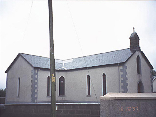 Saint Molua's Catholic Churchchurch/chapel · 1.5 mi
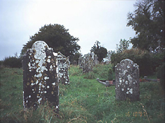 Historic buildingOfficially recorded historic building · 1.5 mi
 Burial Gd.Bawn · 1.8 mi
 Saint Kieran's WellSpring · 2.5 mi
 FarbreagueMountain / peak · 3.3 mi
 European BeechEuropean Beech · 3.8 mi
 European YewEuropean Yew · 4.1 mi
 ArderinMountain / peak · 4.3 mi
 Millennium GardenMemorial · 4.5 mi