What is recorded here
Sir Charles Coote built a fortified house (RO039-061002-) at the site of Malby's house (RO039-061001-) after 1616, and between then and c. 1636, the date of the Strafford map where it is marked (Simington 1949), a bridge was built from the house across the River Suck at a point where the W-E section of the river has turned S. It is also marked on Petty's map (1683) of Athlone North barony. The bridge would have been c. 60m long, and a section on the W bank (L 10.4m; Wth 5m; max. H 3.6m) with portions of the parapet and two broken arches (Wth c. 4m) survives. Archaeological testing (10E0293) for a new bridge just 5m to the N produced no related archaeological material, but evidence of the original bridge abutments on both sides of the river was recorded (McQuade 2010; 2013). However, further monitoring revealed no other archaeological or architectural features (Henry 2012).
Compiled by: Michael Moore
Date of upload: 8 September 2012
The monument record does not grant public access. Check the route and ask the landowner before entering private land.
- What survives
- Recorded monument
Places near here
 IndicatedHouse, fortified house · 63 yd
 European YewEuropean Yew · 91 yd
 Castlecoote Housecountry house · 96 yd
 European ashEuropean ash · 161 yd
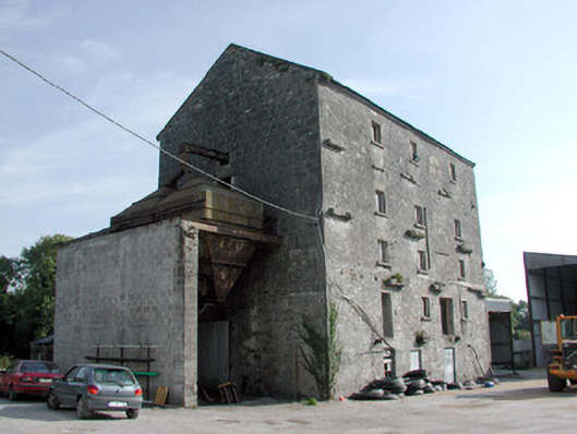 mill (water)mill (water) · 226 yd
 Embanked enclosureFairy fort / earthen ringfort · 1752 yd
 CastleCastle, unclassified · 1.0 mi
 Diarmad and Grainne's BedArchaeological place · 1.1 mi
 Sally IslandIslet · 3.4 mi
 Roscommon CastleCastle · 4.2 mi
 Mount MaryMountain / peak · 5.2 mi
 Site of Killomaine Grave YardArchaeological place · 7.0 mi