
What is recorded here
A bridge is indicated on the Down Survey (1655-6) barony map on or close to the location of the present bridge over the Owenmore River at the N edge of Collooney. No visible remains of this bridge are now evident. The present road bridge (on a N-S axis; Wth 3.2m) is of eight semicircular arches (span c. 4.4m) with roughly shaped voussoirs. Tall thin piers (Wth c. 1.35m) with tall pointed cutwaters rise to the base of a modern parapet. The core of the bridge is of random rubble limestone. The bridge is extended 3.55m on the downstream (E) side and the extension has similarly shaped stone arches with dressed voussoirs and pointed cutwaters. The arches are heavily underpinned with a thick layer of concrete. The bridge has been extended further in recent times. According to O'Rorke ([1889], vol. 2, 556), Collooney bridge dates to about 1400 but it is not the structure that now exists in this place.
The above description is derived from the published 'Archaeological Inventory of County Sligo' compiled by Ursula Egan, Elizabeth Byrne, Mary Sleeman with Sheila Ronan and Connie Murphy (Dublin Stationery Office, 2005).
Date of upload: 18 January 2008
The monument record does not grant public access. Check the route and ask the landowner before entering private land.
- What survives
- Recorded monument
Places near here
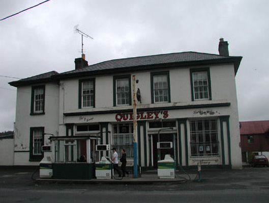 Quigley'spublic house · 76 yd
 Abbey (in Ruins)Church · 121 yd
 Enclosure in BleachgreenEnclosure · 378 yd
 IndicatedFairy fort / earthen ringfort · 479 yd
 Teeling MonumentMemorial · 569 yd
 Battle of Collooneybattle · 602 yd
 European ashEuropean ash · 1603 yd
 Union RockForest · 1.2 mi
 BunreecoillMountain / peak · 1.4 mi
 Castle (Site of)Castle, unclassified · 1.7 mi
 SlievewardMountain / peak · 1.8 mi
 CastleCastle, unclassified · 2.2 mi
Other information
Photo: Credit not shown in the picture search · Rights wording not checked; contact us if this picture should be removed