
What is recorded here
A bridge over the Ballysadare River is indicated on the Down Survey (1655-6) barony map (1654-57) at the town of Ballysadare. There are now no visible remains of this bridge. The present road bridge (on a NE-SW axis; Wth c. 6m) which is of 18th-century appearance is on the SW side of Ballysadare town. It has seven segmental arches (span c. 6m) increasing in size towards the centre with dressed voussoirs. The low pointed cutwaters have concrete tops. The core of the bridge is rendered and the arches are underpinned. The bridge has been recently widened with a cantilevered support and iron railing. An earlier bridge (SL020-249----) seems to have existed to NW. Also indicated on the Down Survey (1655-6) barony map (1654-57) is a mill (SL020-273----) on the E bank of the Ballysadare River and down stream from this bridge.
The above description is derived from the published 'Archaeological Inventory of County Sligo' compiled by Ursula Egan, Elizabeth Byrne, Mary Sleeman with Sheila Ronan and Connie Murphy (Dublin Stationery Office, 2005).
Date of upload: 18 January 2008
The monument record does not grant public access. Check the route and ask the landowner before entering private land.
- What survives
- Recorded monument
Places near here
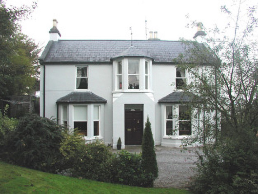 Arrow Lodgerectory/glebe/vicarage/curate's house · 82 yd
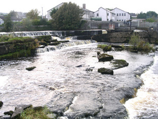 weirweir · 133 yd
 IndicatedPromontory fort, inland · 605 yd
 Ecclesiastical enclosure in KilboglashyEcclesiastical enclosure · 744 yd
 CastleCastle, unclassified · 880 yd
 Union RockMountain / peak · 1.0 mi
 BunreecoillMountain / peak · 1.3 mi
 Battle of Collooneybattle · 1.4 mi
 Teeling MonumentMemorial · 1.4 mi
 CarrigeenfaddaIslet · 2.3 mi
 European ashEuropean ash · 2.5 mi
 RinnatalleenHeadland · 2.8 mi
Other information
Photo: Credit not shown in the picture search · Rights wording not checked; contact us if this picture should be removed